Angelic Waterfalls
I found Angel Falls through a book on hiking by Donald Pfitzer and visited both it and Panther Falls.
As I’ve done a lot of hiking in and around north Georgia and upstate South Carolina, it has become increasingly difficult to find new day hikes that fit within my schedule and conditioning. So, I picked up a new book, Hiking Georgia, by Donald Pfitzer, to see if I could find some new hikes to try. After a quick sifting through the book, I found the Angel Falls Trail, just over the South Carolina border in northeast Georgia, not far from Clayton, in Rabun County.
I was looking for something that wouldn’t take all day, as I did have other obligations for later that evening, and so I needed something relatively short and not too far to get to. This one seemed to fit nicely, so I decided to give it a shot. The Angel Falls Trail is a bit of a misnomer, actually, since there are two waterfalls on the trail, Angel Falls (naturally) and Panther Falls. The trail itself is only moderately difficult, with only an elevation gain of 720 feet. The trail is 1 mile there and back, so a nice 2-mile hike for an hour or so.
Getting to the trail is a bit interesting, as you navigate a narrow winding road that follows the shoreline of Rabun Lake. It’s good to keep your speed to a minimum, as some of the curves are blind, and it’s good to avoid close calls with the other drivers. You reach the Rabun Beach campground (specifically campground number 2, and drive through the campground to a small parking area for the trailhead. The trailhead is well marked, once you’ve gotten to the campground, with a nice kiosk letting you know which way to go and what you’re likely to see. There is a fee for parking there, so be sure to do so before heading out.
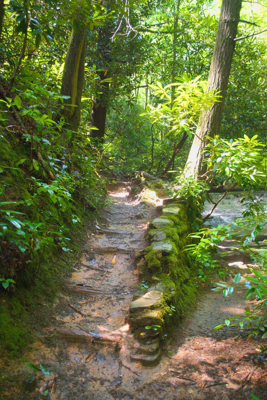
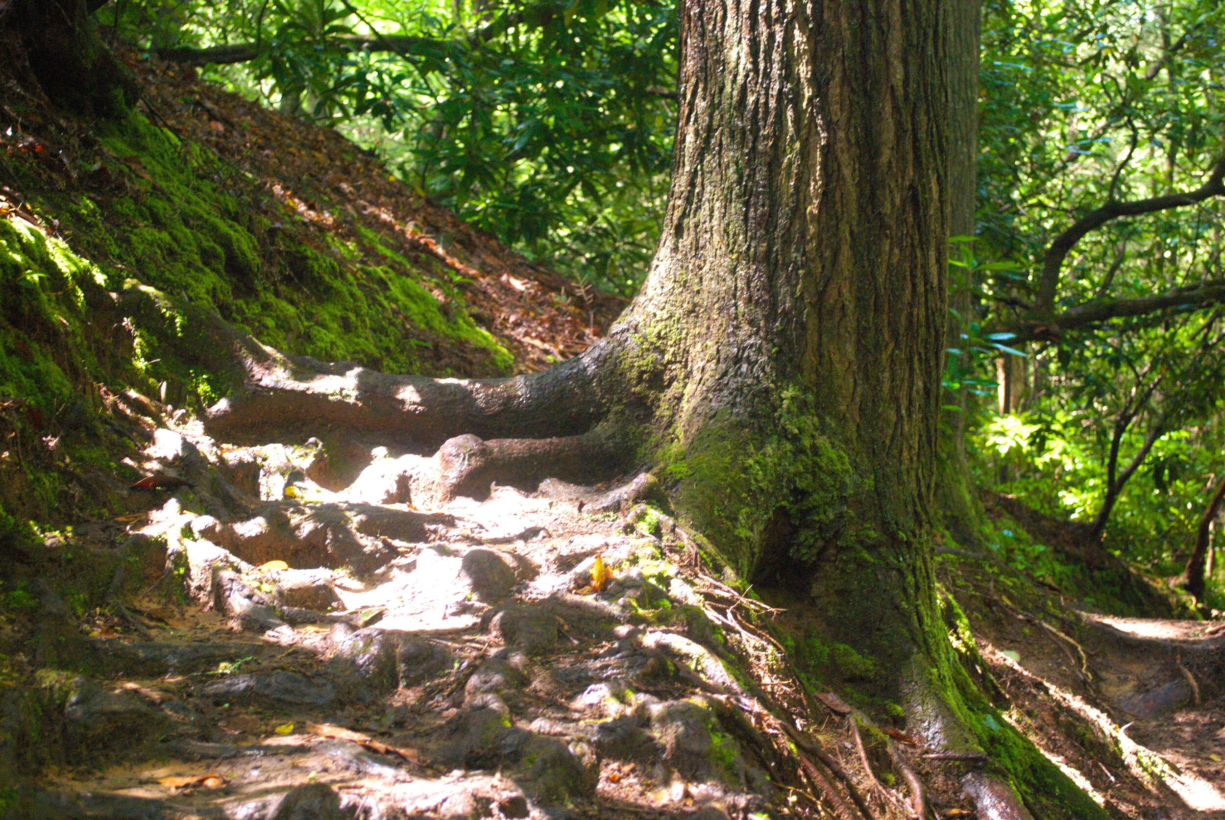
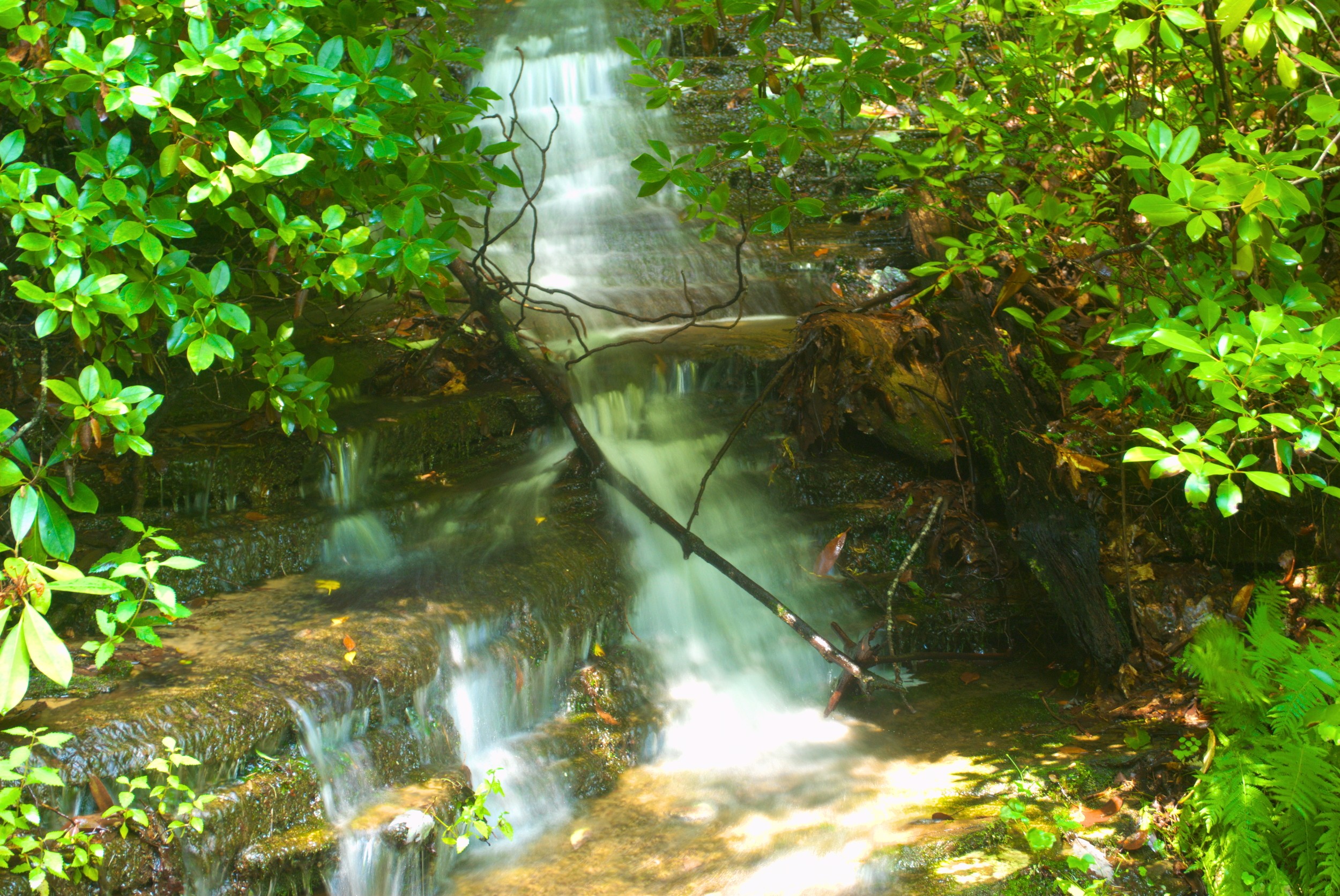
Once you’ve started out, you’ll cross Joe Creek, which you’ll be following during the whole trip up to Angel Falls. Right there at the bridge are some pleasant cascades, and you can wave at the folks who are lucky enough to have gotten the campsite right there at the trailhead. Past the bridge the trail starts to climb along the bank of the creek. It was quite muddy on my trip, and I took care not to slip and go over the edge, especially as, at many points, the edge of the trail is a significant drop-off down to the creek.
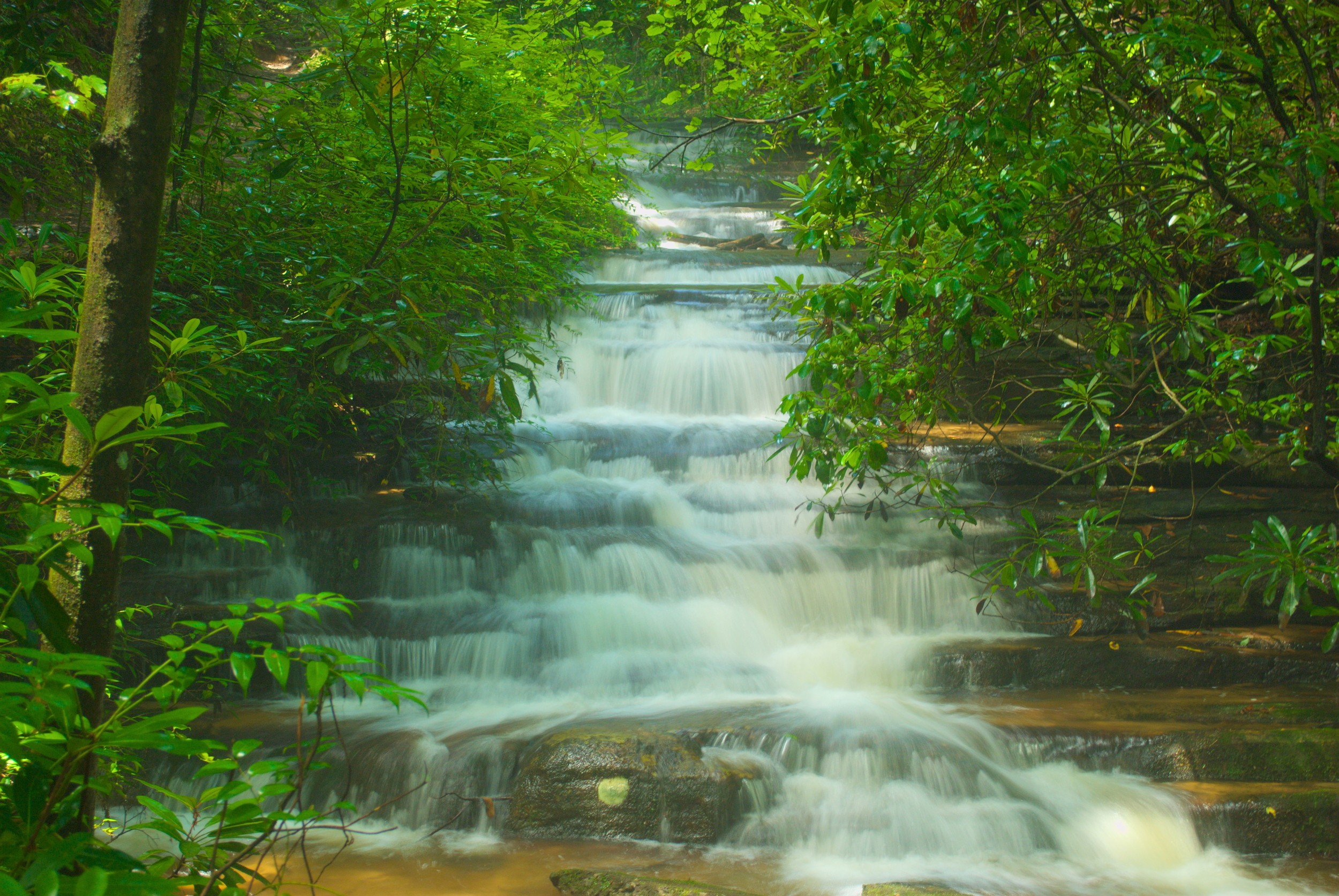
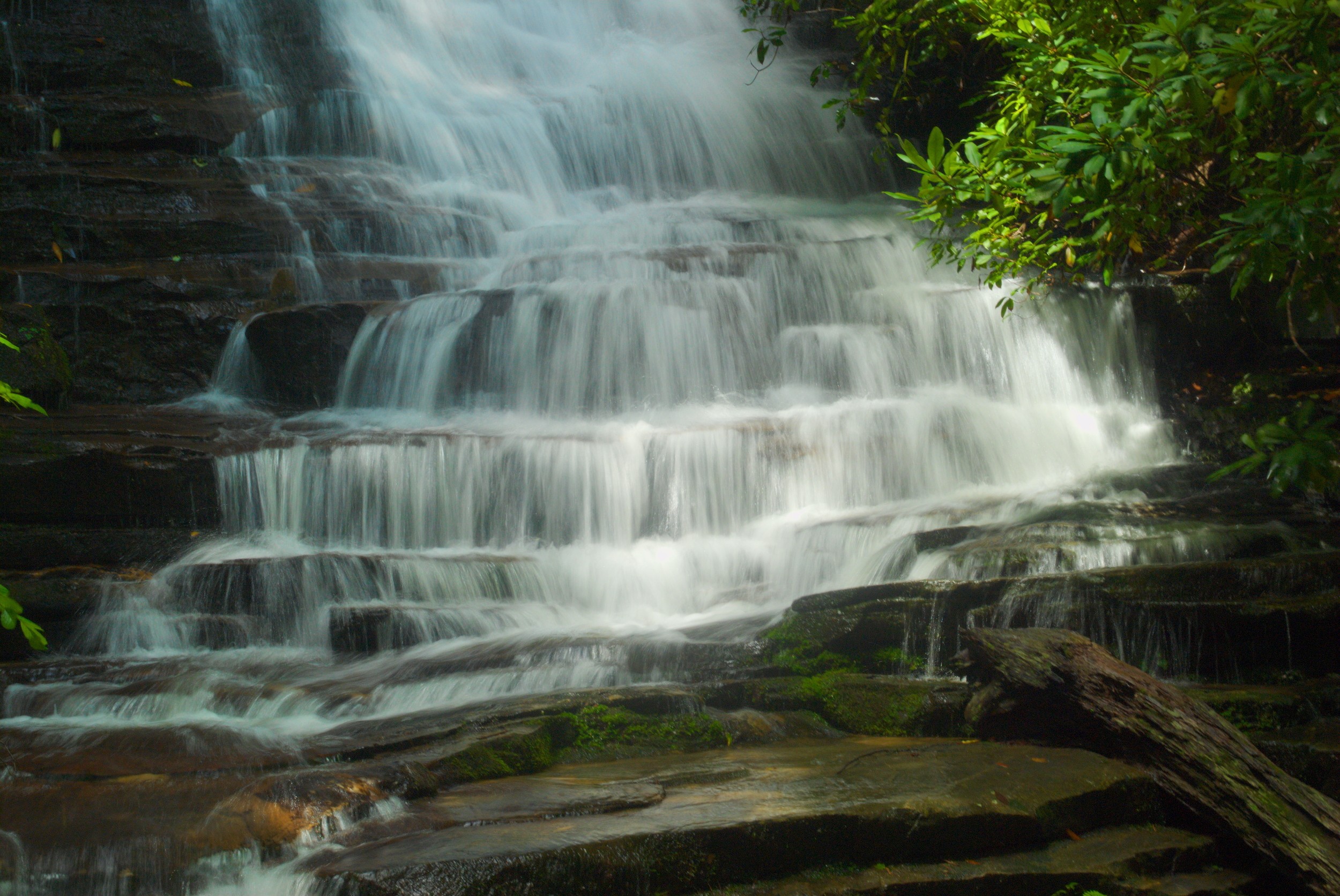
The first waterfall is Panther Falls, at just over the halfway mark on the trail. I personally enjoyed this waterfall a lot. It was impressive, and one can go out on the rocks and be right in front of the 40-foot cascade. The waterfall is in a beautiful spot, and there is a bench nearby for those who wish to sit and take in the view.
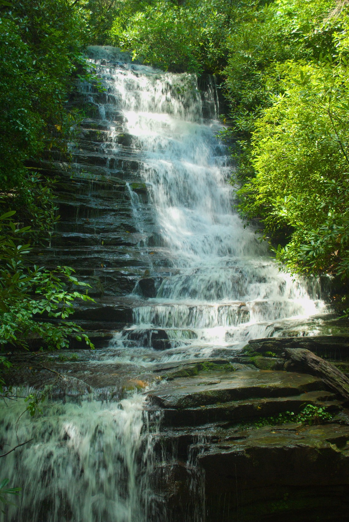
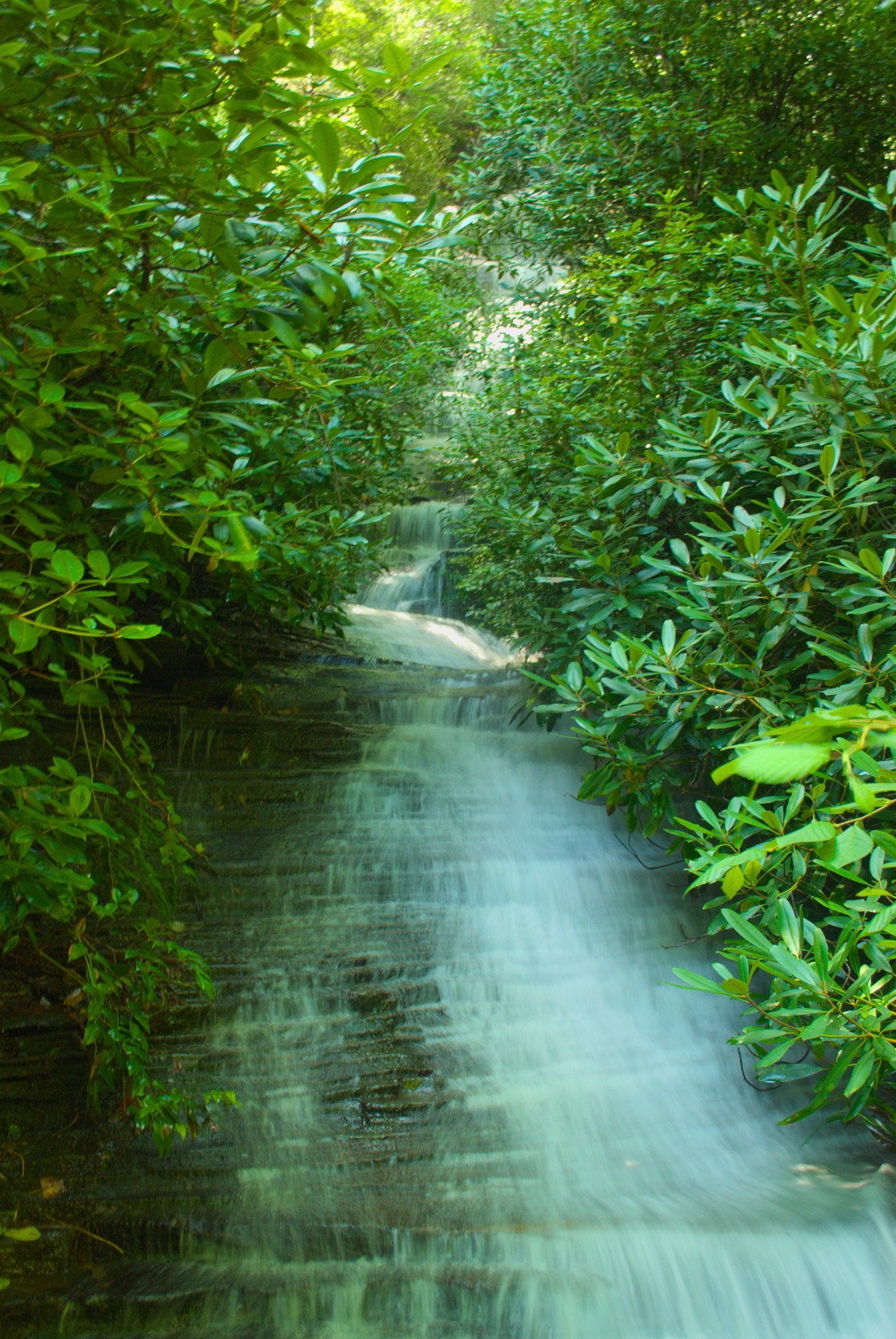
The rest of the trip, which is a climb up to Angel Falls, gets a bit steeper and the dropoff is more pronounced, at least until the last few yards approaching the waterfall. This waterfall is, I’m sure, pretty impressive at times of the year, but there was so much foliage, that one could barely see the waterfall coming down to the viewing platform. That’s not to say that it wasn’t pretty, but I would like to go back closer to the winter, if possible, to see it when there’s not as much greenery obscuring the view. I did stay there and try to get a few shots, and then made my way down, just a family of hikers was making there way to the platform.
There are two approaches to the viewing platform, forming a bit of a loop, but it wasn’t clearly blazed, so it wasn’t particularly easy to tell where to go to do the entire small loop at the end of the trail. So, I ended up just going back down the way I came. If you’re up in the Clayton area, and you’ve got a minimal amount of time for a hike, this one is worth the trip.