Best Laid Plans
Amicalola Falls is a very tall cascade in northern Georgia, and my brother and I got a view from the top, not by the trails, because I got us lost, but by the convenient observation deck we could drive to.
Later in January, my brother and I decided to hike a loop of trails in Amicalola State Park. We got to the park, and he rather ingeniously took a picture of the map at the visitor’s center, since I wasn’t able to get enough signal to download one. Looking at the map, we decided to start off on the Spring trail, which leads down to the Mountain Laurel Trail (called the Green Mountain trail in my hiking guides). The trail ends at the Creek trail, which continues the loop over to the Appalachian Approach Trail, which goes up to the falls. Then, we’d take the West Ridge Falls trail back to the car. Seemed pretty straightforward.
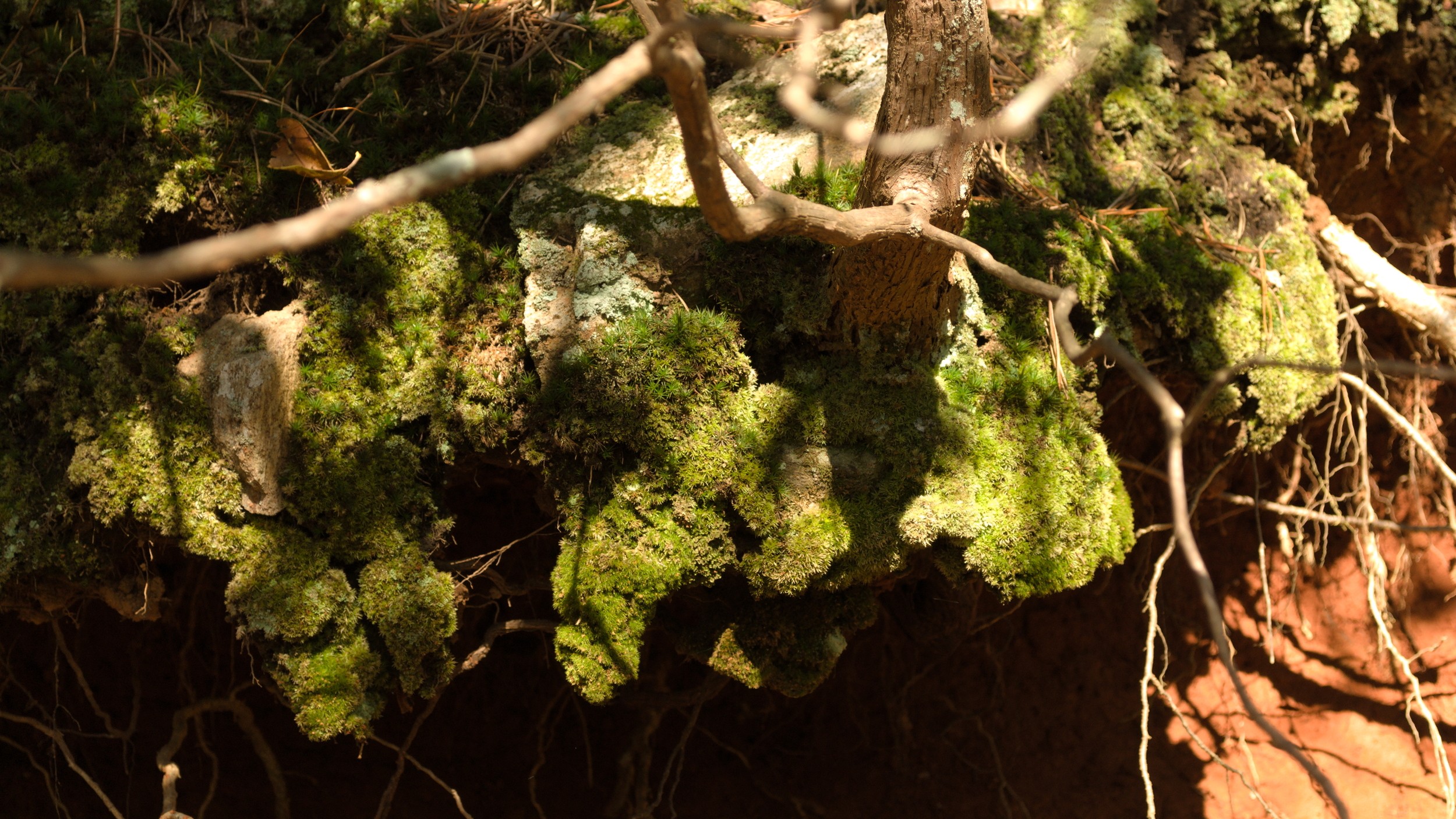
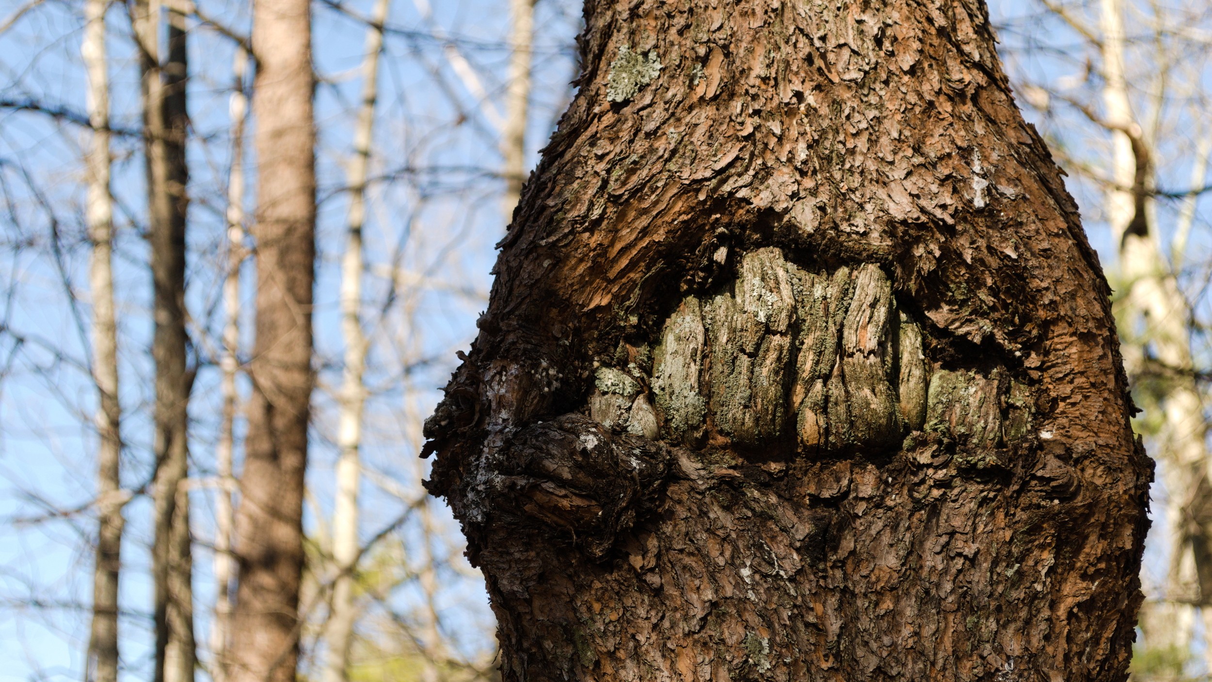
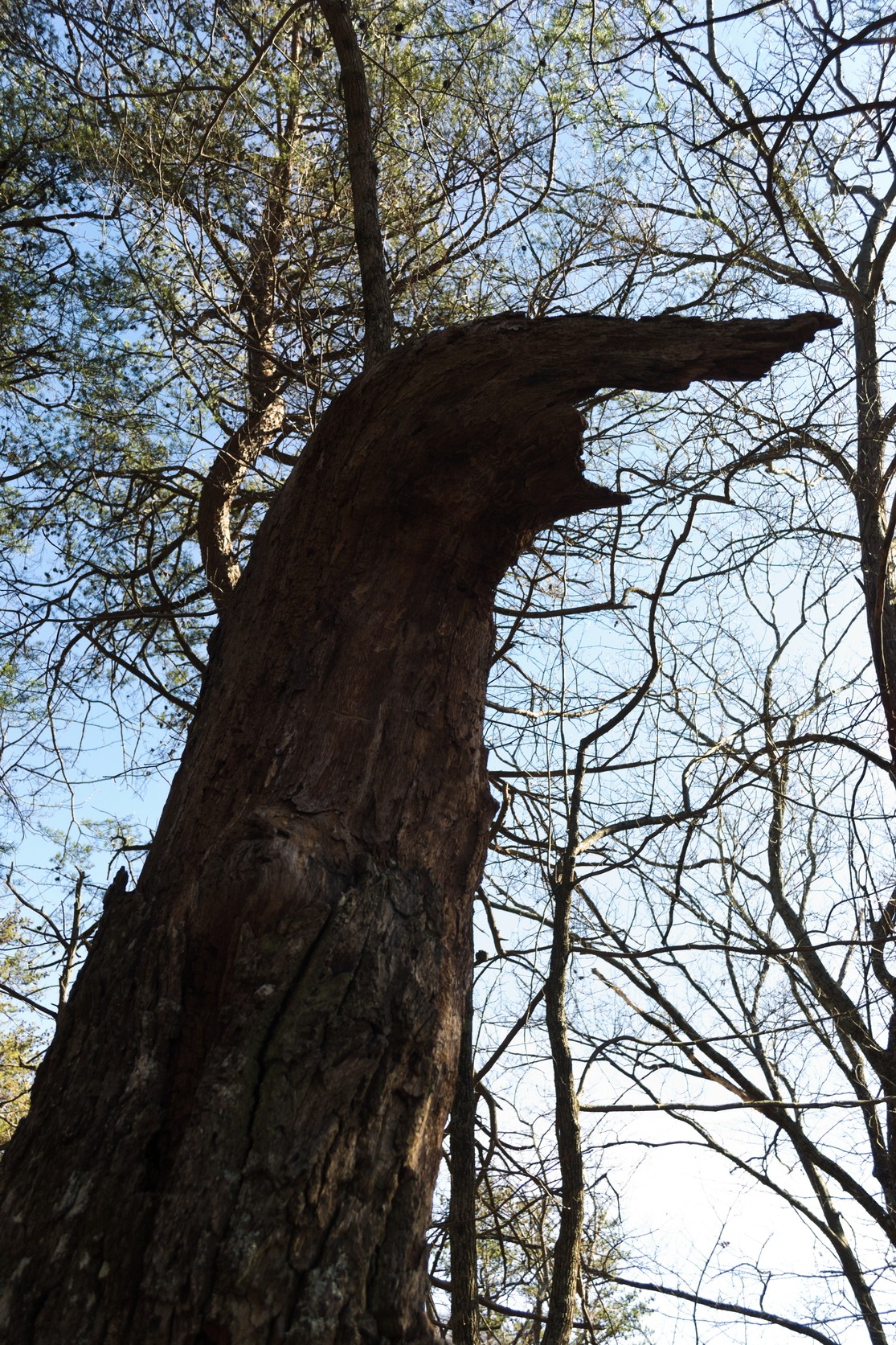
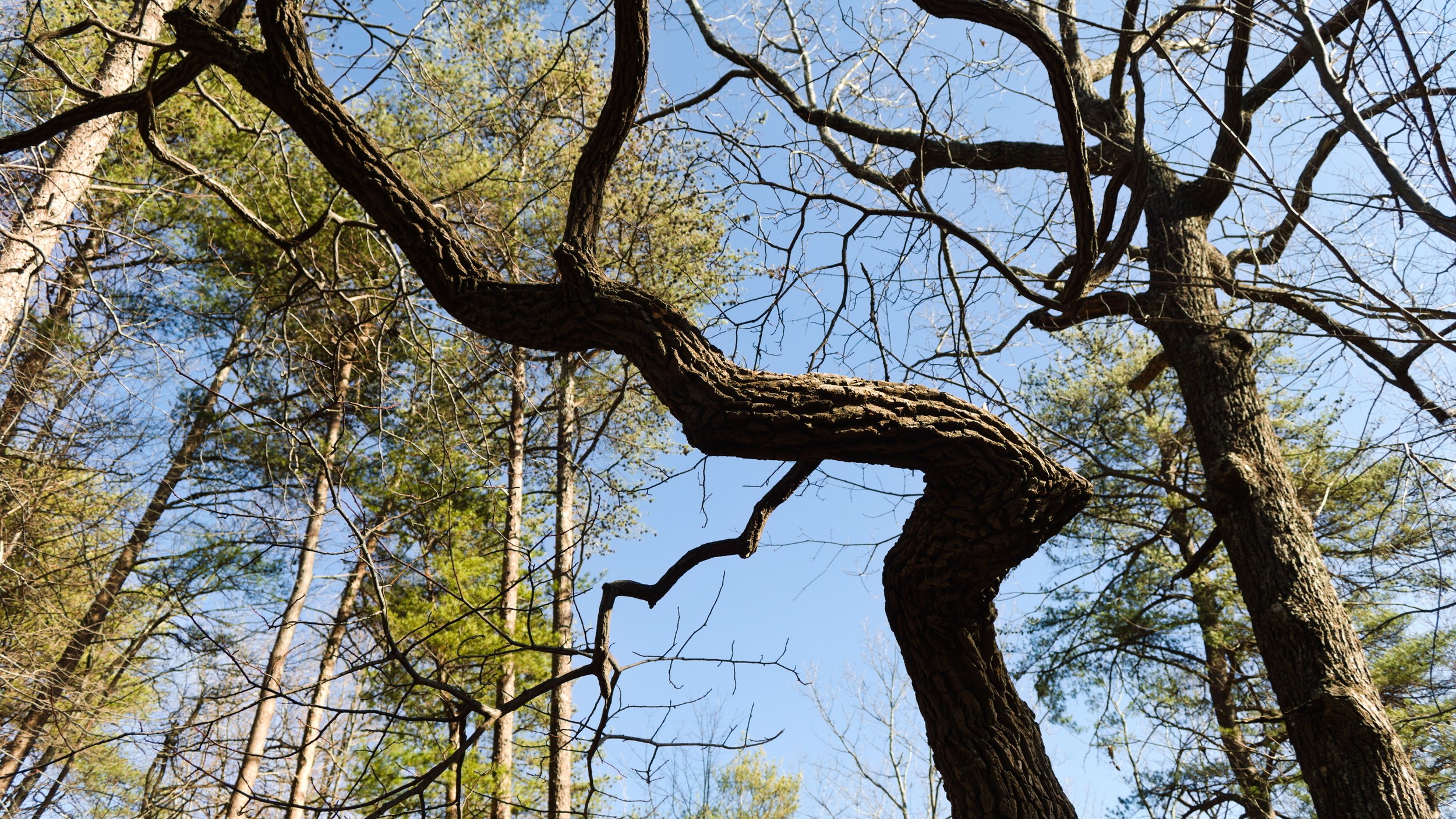
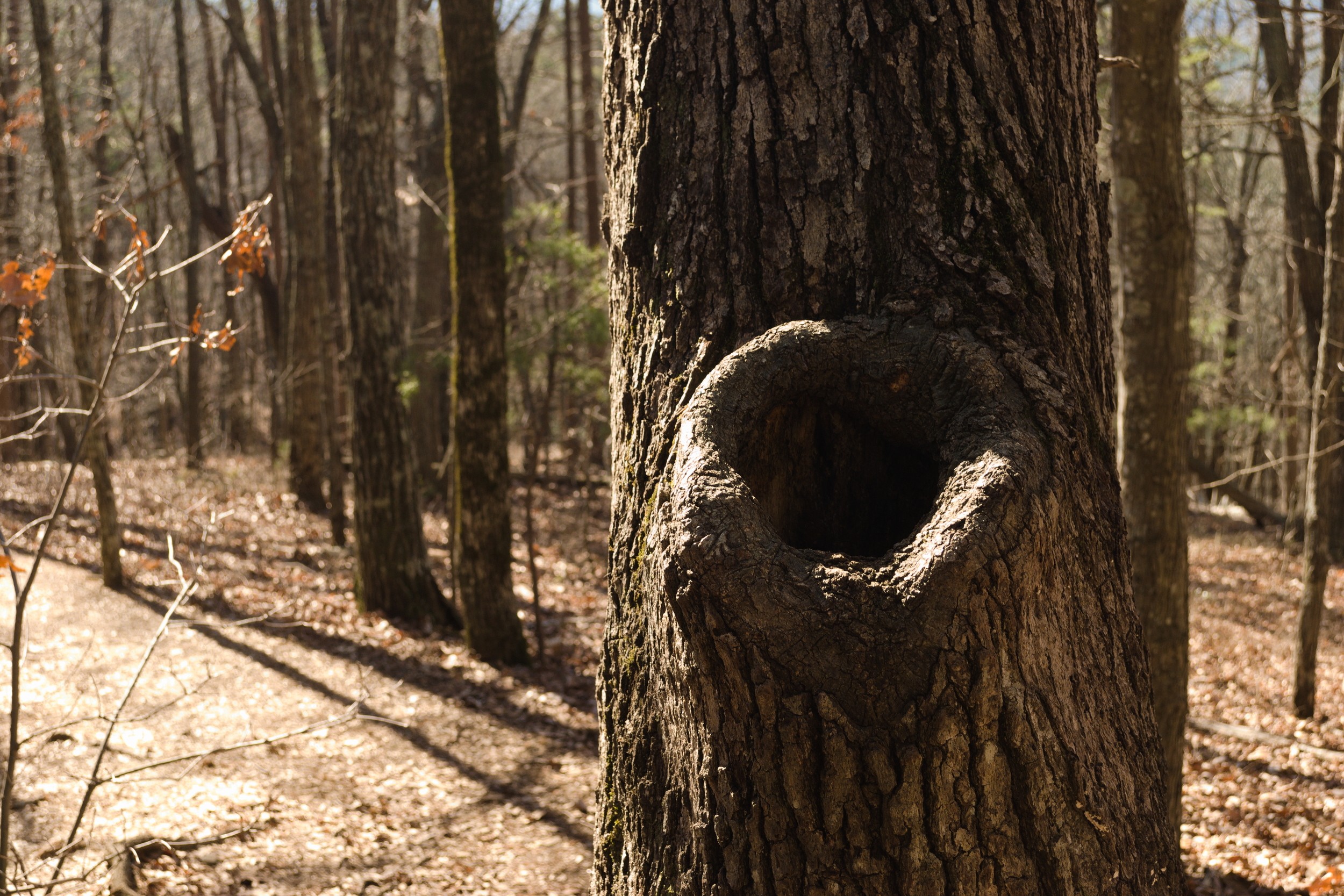
So, we drove up to the parking area, which is at a viewing area over the valley. Then we started off on the Mountain Laurel trail, a fairly straightforward trail, sloping downward towards the lower ridge from the parking area. Since it’s still winter, the bizarre twisted shapes of the trees stood out much more than they would when spring and summer return. It’s just a very different experience than hiking in the warmer months.
Eventually, the trail reached a junction where it hooked up to the Creek Trail. And that’s where things went off track. The blazes for the Mountain Laurel trail were green, and it appeared that the Creek Trail’s blazes would be yellow. But it was difficult to tell which way to go, because of the way the trail twisted. One could only see the yellow blazes in one direction. It was my brilliant idea to follow the yellow blazes. My brother was not as certain as I was, but he generously let me make my own mistakes. So we followed the yellow Creek Trail, which kept going down and down, and not in the correct direction. By the time I was absolutely certain I had erred, we could see the Visitor’s Center, which was were we had originally found the map. Kind of ironic, I suppose.
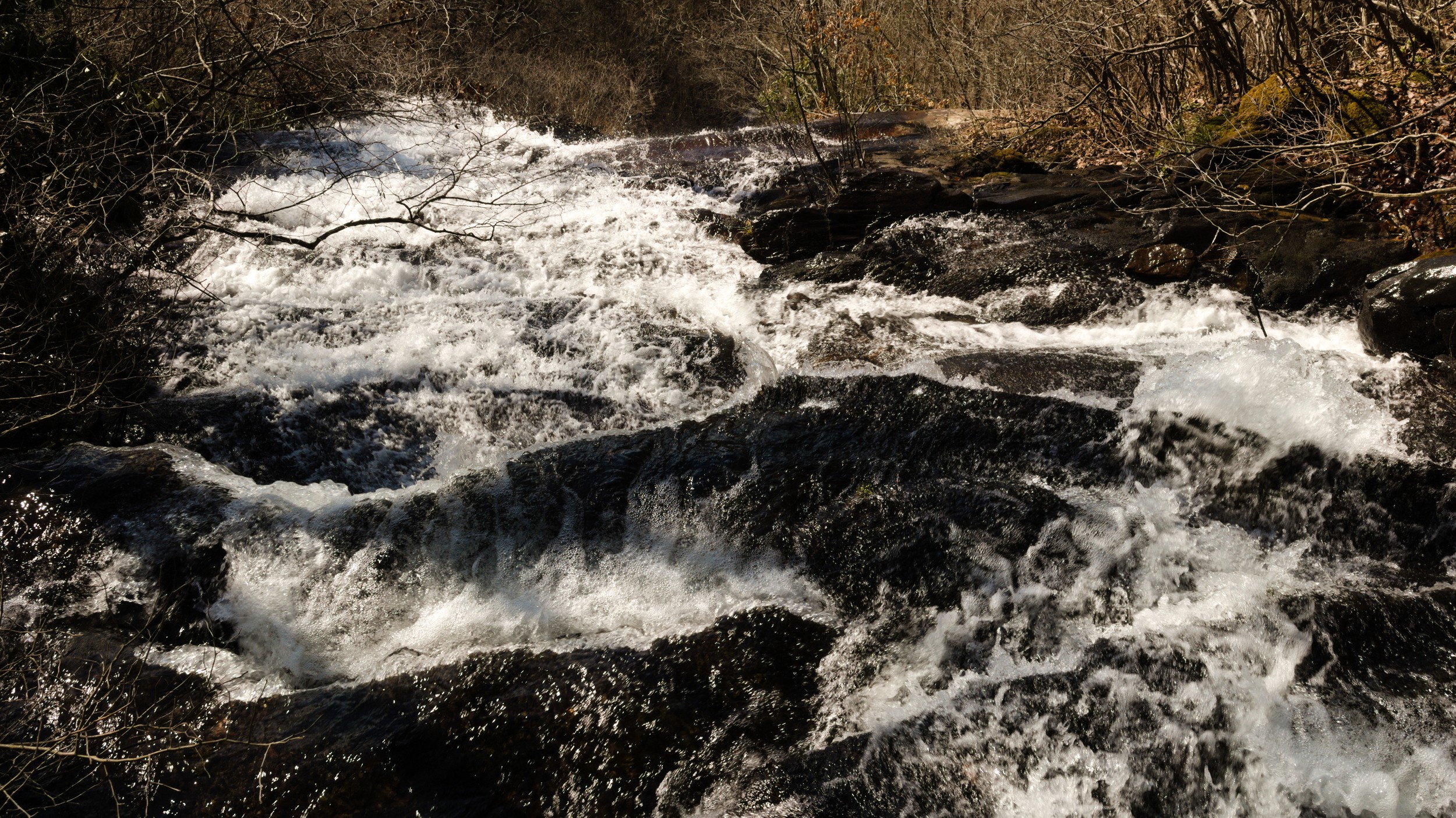
We decided to just get to the bottom, look around the creek, take a few pictures, and regain our bearings. Looking back at the map, we realized the best way to get back was right back up the Creek Trail. Due to our time constraints, we opted to go back up the Creek Trail, follow it to where it connected back up to the Mountain Laurel trail, and then complete that loop, rather than going up to the falls. Not really what we had anticipated, but it would work out.
The climb back up the Creek Trail was certainly challenging. The hike down to the Visitor’s Center had been a relatively steep decline, so it was no surprise, but it took much longer to get back up, so it was good that we had decided to adjust our route. We were meeting family for lunch, and didn’t want to be late. So, we made it back up and no further difficulties getting back to the car. I’m not entirely sure how long the hike was, but it was between 3 and 4 miles, all told, most likely.
Finally, just so we could see the falls, we drove on up to an observation deck where you can look out over the top of the falls. I plan to try this hike again in the spring or summer and take the approach trail to see the falls from its base, as originally planned. Even though this was not our original plan, it was still a great morning hike.