Lake Jocassee’s Raven Rock Trail
The Raven Rock trail is part of a small network of hiking trails in the Keowee Toxaway State Park in upstate South Carolina.
This trail is a loop trail that branches off from the Natural Bridge loop trail, in the same area. Together, the Natural Bridge and Raven Rock trails form a 4.1-mile loop. The trailhead for these two trails is just off the visitor’s center for the park, just off of Hwy. 11, between Hwy. 130 and U.S. 178.
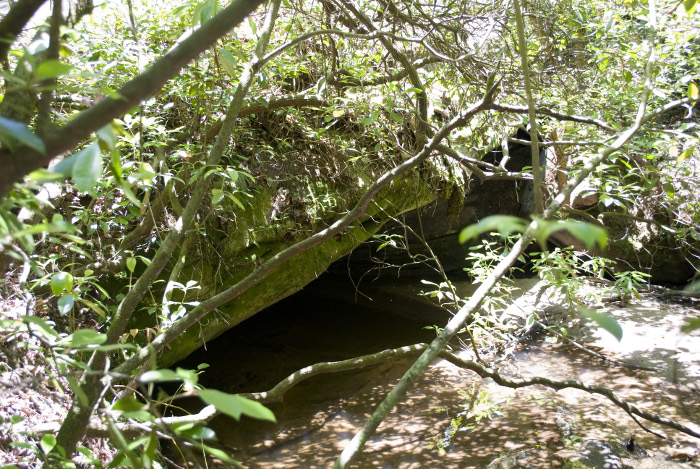
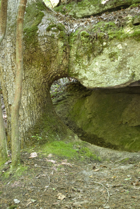
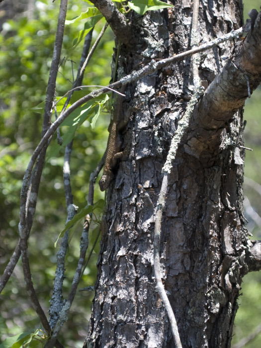
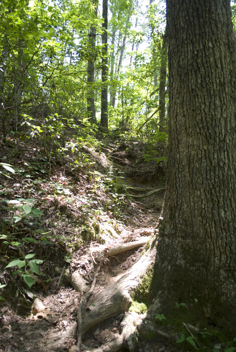
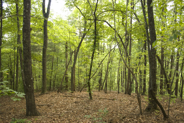
At the beginning, this trail is not the most secluded, as it follows within hearing distance of Hwy. 11 for a while, before angling downwards away from the highway and down to a creek that flows through the area. The trail is to be followed counter-clockwise, and the first sight to be seen is the natural bridge for which the first loop is named. The bridge is primarily a large boulder that sits right in the middle of the creek, the flow of the creek continuing under it.
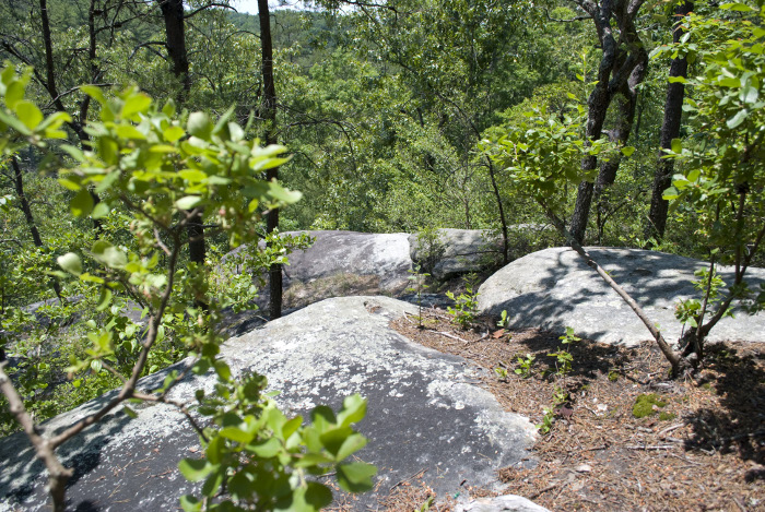
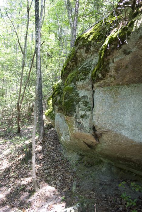
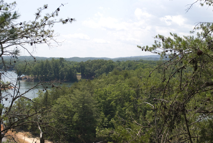
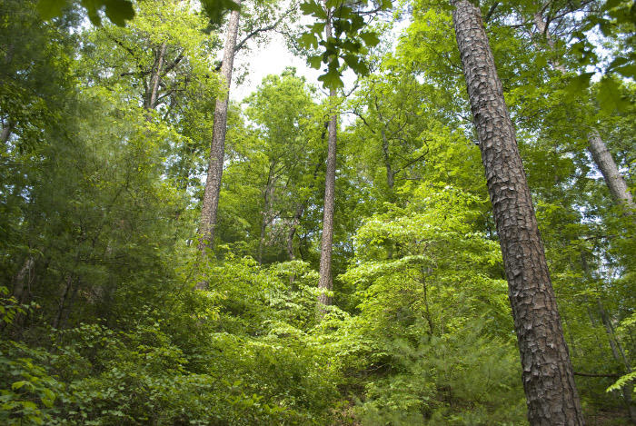
Not too long after the bridge is the point at which the Raven Rock trail forks off to the right. Where the Natural Bridge trail is a fairly easy to moderate hike, the Raven Rock trail immediately shows that it is a much more strenuous path to take. The trail climbs rather swiftly and steeply up to a lookout composed of very large boulders, which provides a beautiful view of the mountains of the upstate.
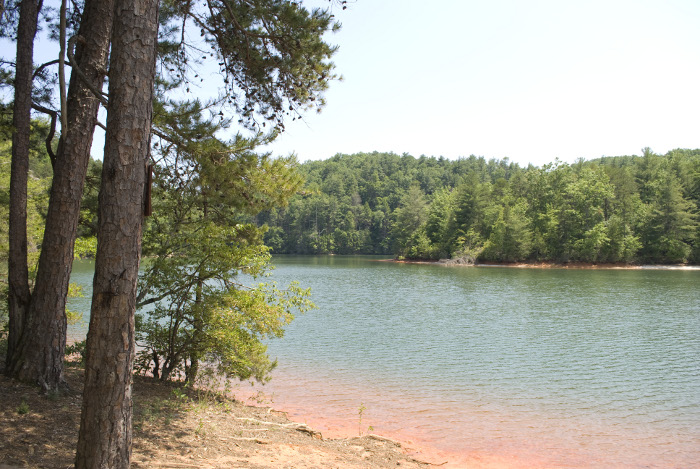
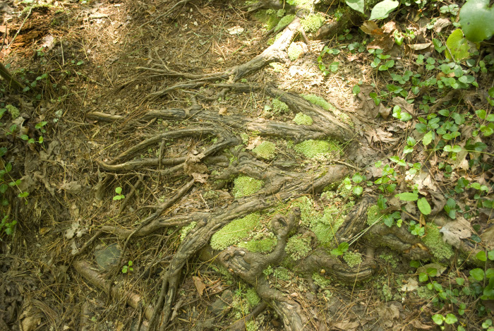
The trail continues on, leading downward and back upward multiple times, at very steep angles. At times, the footing can be somewhat precarious, particularly on the downhill stretches, and I was grateful for my hiking boots. Just over halfway along the trail, there is a spur that leads down to a peninsula on Lake Jocassee where there are some campsites (which require registration, if one wishes to stay there). This spur is worth taking, as it first leads to a lookout composed of large rocks. There is a nice view of Lake Jocassee from there. After that lookout, the trail leads downward to the end of the peninsula.
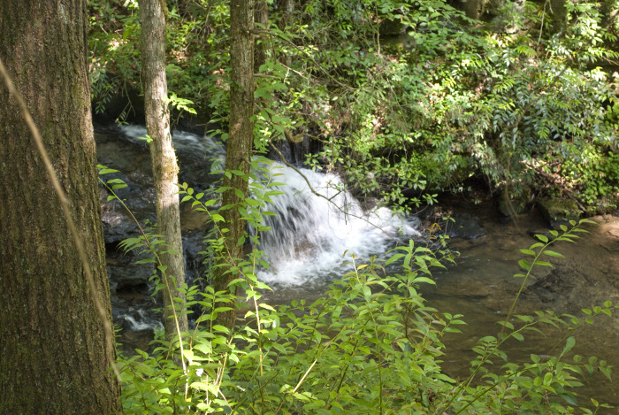
To get back out, one must move more or less back the way one came, back up the spur. Watch out for trail blazes here, as the trail markings are a bit spotty. Eventually, you’ll return to where the spur branched off and then continue until reaching the Natural Bridge Trail again. Along that stretch are some small, but pretty falls as the creek flows along the trail.
Finally, the Natural Bridge trail returns to the trailhead, but fair warning: the end of this trail is rather steep for a long stretch, so don’t be too complacent. Overall, this is a very nice trail, and I enjoyed it. Defintely worth a second hike, sometime, perhaps even to camp at one of the campsites on the peninsula.