Looping Through Caesar’s Head
On a lovely early spring day, I took a few trails through the Mountain Bridge Wilderness Area, including the Coldspring Branch and Jones Gap Trails.
Back to the Mountain Bridge Wilderness Area in upstate SC, this time for the Coldspring Branch Trail. Originally, I had intended to take the Coldspring Branch Trail, a 2.6-mile trail and then come back along the Bill KImball trail. When I conferred with the ranger at the Caesar’s Head Visitor’s Center, however, she advised that I come back along the Jones Gap Trail, which would be another 2.5 miles or so, to complete the loop. The Bill Kimball Trail is particularly difficult, apparently, and this loop, even though longer in terms of distance, would not take quite as long as the trail I had originally considered.
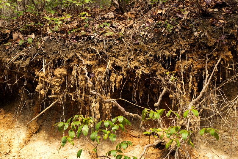
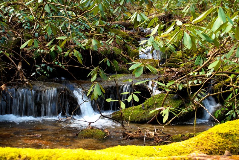
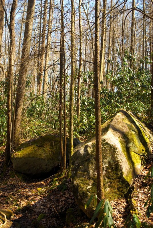
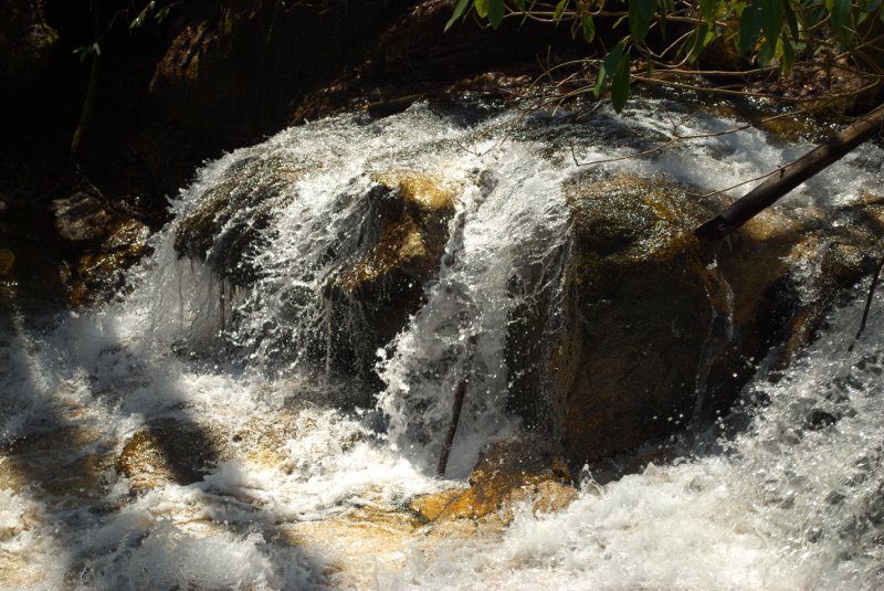
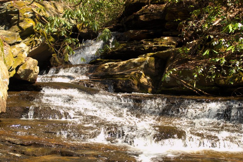
I drove down and parked at the Raven Cliffs parking area, using the overflow, because it was a good day for a hike and many people were out and about. The Coldspring Branch trail started off with a bit of elevation change to set the tone, but swiftly evened out to a moderate trail. What was most impressive about the trail were the frequent views of waterfalls, cascades, and rapids as the trail followed the creek. Most of the other hikers were apparently on the Raven Cliffs Trail, as I only met a few people now and again. It’s a beautiful trail, and I spent a lot of time trying to get good shots of the water. It was still not quite spring in terms of foliage, but the temperature was pleasantly warm.
The trail crosses the creek multiple times, but the water was just at a good level that it wasn’t difficult to navigate, and there were plenty of well-spaced rocks to help. There were times, however, when the trail was practically a small creek itself. In times of high water, this trail could be a tad damp.
Eventually, I caught up with the Jones Gap Trail, somewhere in the middle of its 5+ mile stretch across the area. My first sight after joining the trail was a good sized falls that fell along a stairstep path of stones flowing between large boulders. I spent some time there on the bridge, and then continued on my way. I met a very enthusiastic fellow hiker going the other way, and we stood and chatted awhile about how nice the trail was and how beautiful the day was. As soon as he began to testify about his faith, I politely indicated that I needed to continue on my way.
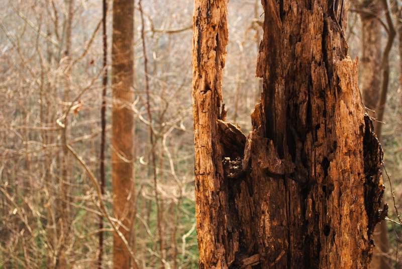
Just after seeing another waterfall in a quiet glade, the trail began to go back and forth up a series of switchbacks. Apparently, this area is called the “Winds” and the trail follows an old road that hasn’t been used for many years. After the back and forth, I continued along the trail. One thing about the Jones Gap Trail is that it is very rocky in many places. I found myself more often than not stepping from stone to stone rather than just strolling along.
Finally, I branched off and took the short Tom Miller trail, a .7-mile connector that led back to the parking area. This was the most strenuous part of the hike as a whole. For almost its entire length, this trail was steep and climbed upward. I kept thinking that it might level out, but just as I hit one rise, there was another just beyond. Certainly a challenge for the end of a day’s hike, but it felt good. I made it to the end of the trail, and hiked back to my car, happy at finding another trail that I plan to return to.