What’s a Chau-Ram?
To answer this question, I followed the signs to Chau-Ram County Park in upstate South Carolina.
For a number of years now, as I’ve been living in the upstate South Carolina area, I had seen signs for “Chau-Ram”. I kind of vaguely wondered what it was, perhaps thinking it had something to do with the Chauga River. But I never pursued it, until I read a write-up on the hiking trails available there. Turns out, Chau-Ram is a nice-sized park near the confluence of the Chauga River and Ramsey Creek; hence, Chau-Ram.
I decided to give it a try, and I’m glad I did. The visitor’s center sits at a southern bend of the Chauga River, right where Ramsey Creek creates a modest waterfall. There are a couple of trails on the southern side of the river, but the major network of trails lies on the other side, reachable by a suspension bridge.
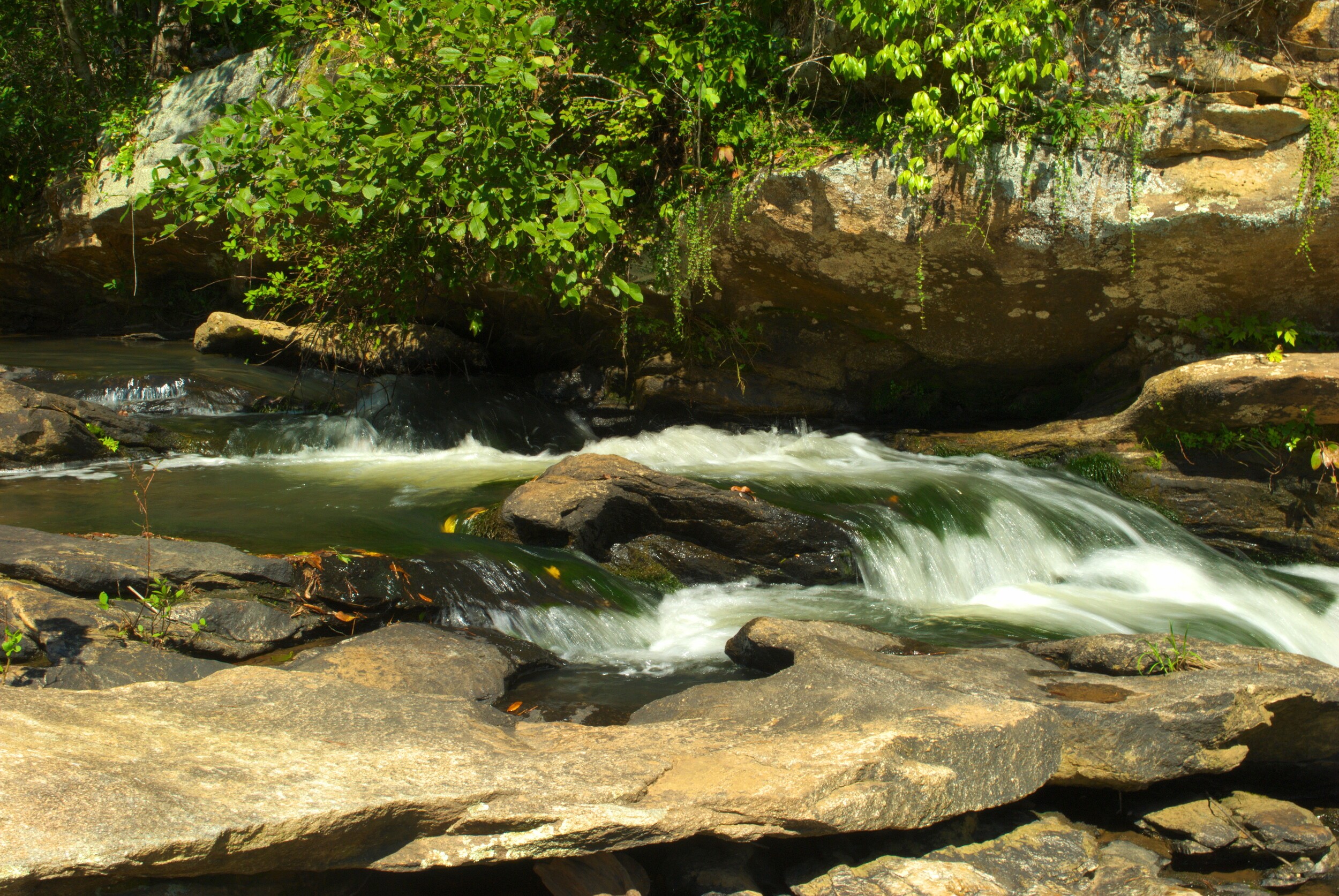
Before crossing the bridge, I took a small trail that leads to the top of the falls, where you can watch Ramsey Creek as it rushes by on its way over the edge of the falls. It’s a tranquil spot, really, which was welcome, as the park can be crowded on a weekend day. I spent a few moments there, taking pictures, and then headed back down to the main trail.
The southern bank of the river has beaches where families were playing in the water, and the suspension bridge takes off from there. On the other side of the bridge there is an intersection with a complicated signpost with different blazes showing what to follow. My guidebook had encouraged me to just keep bearing right whenever possible, to take the longest trip around, so I did so.
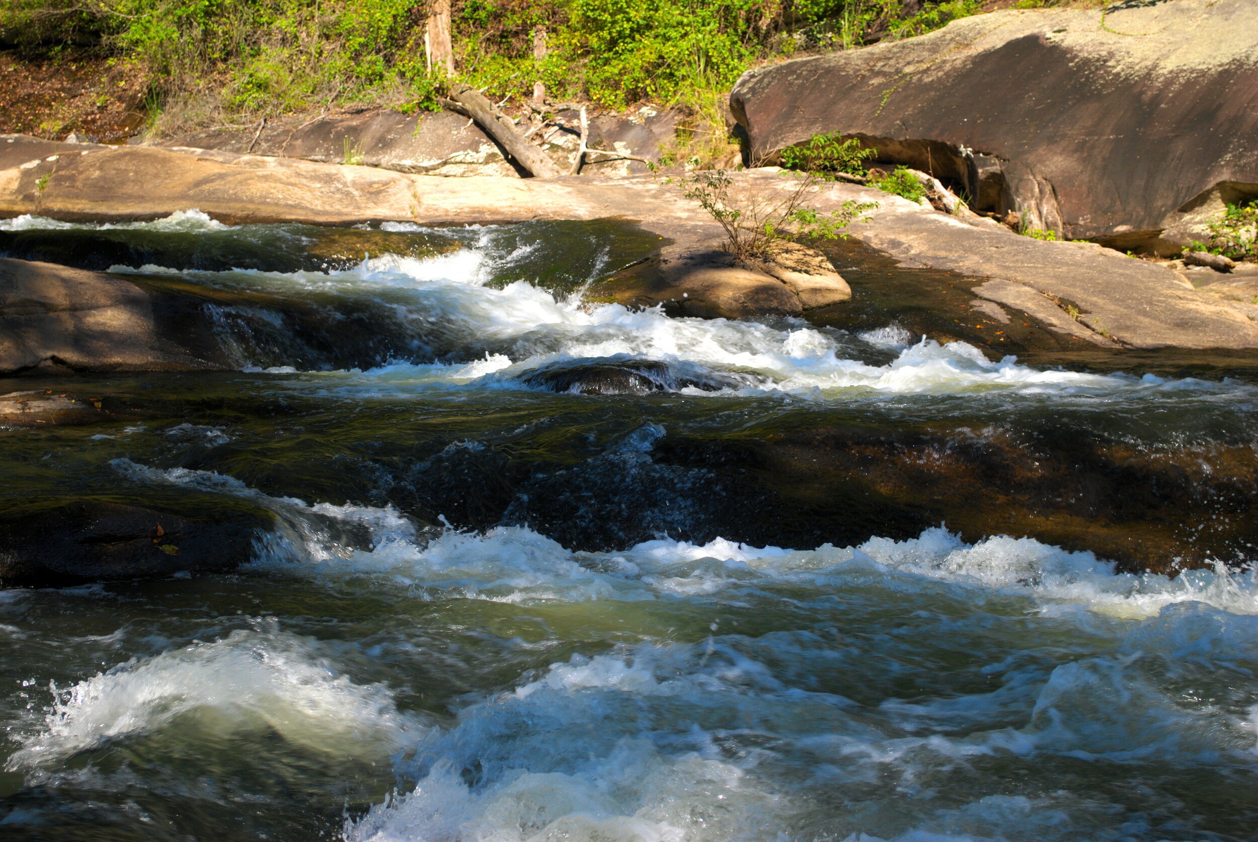
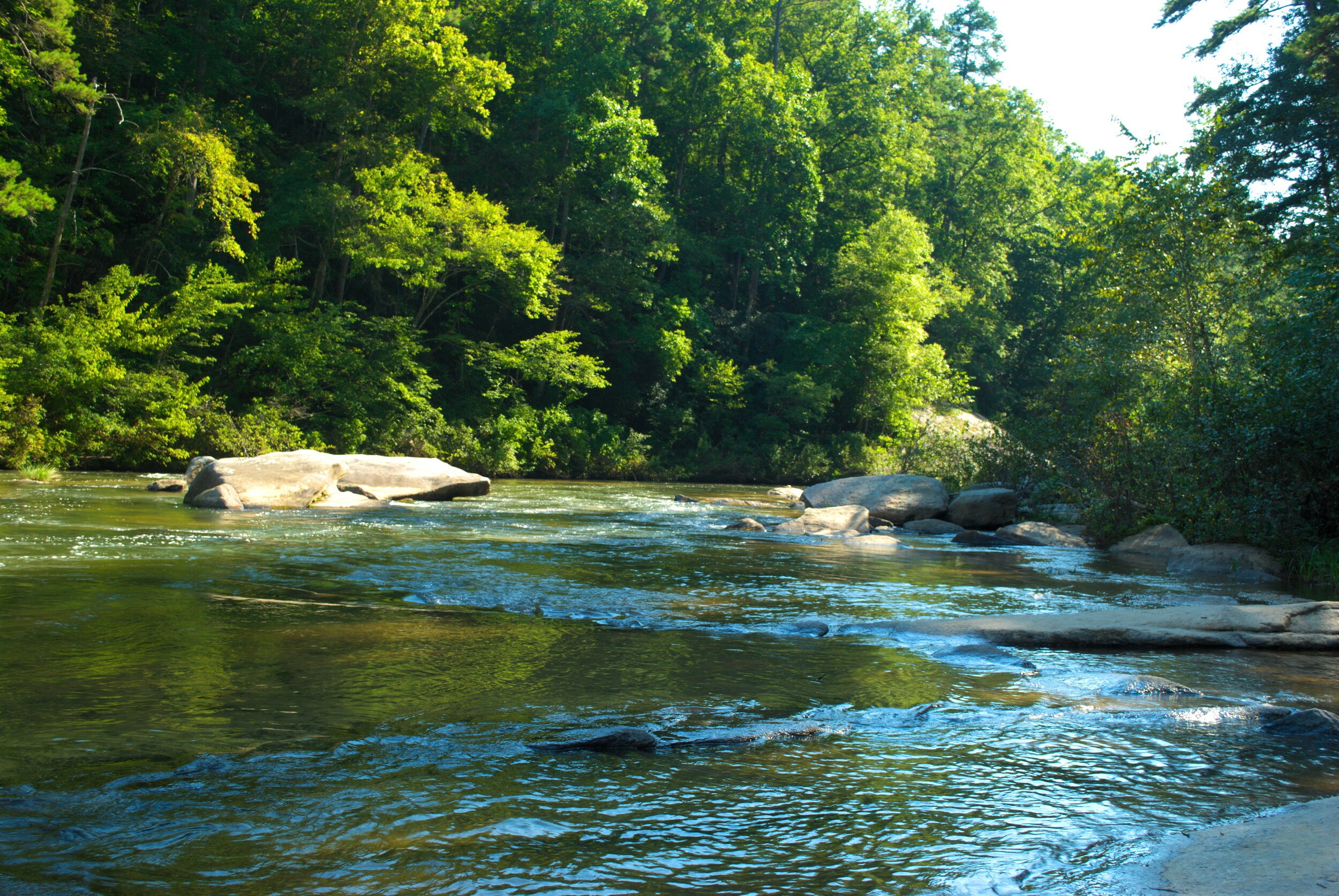
This ended up putting me on the Upper Loop trail, which starts off along the riverside, past the beaches on the opposite bank, to a spur trail that goes down to a beach in the midst of some respectable rapids. I stopped there for a lot of pictures, as the rapids were complex and beautiful.
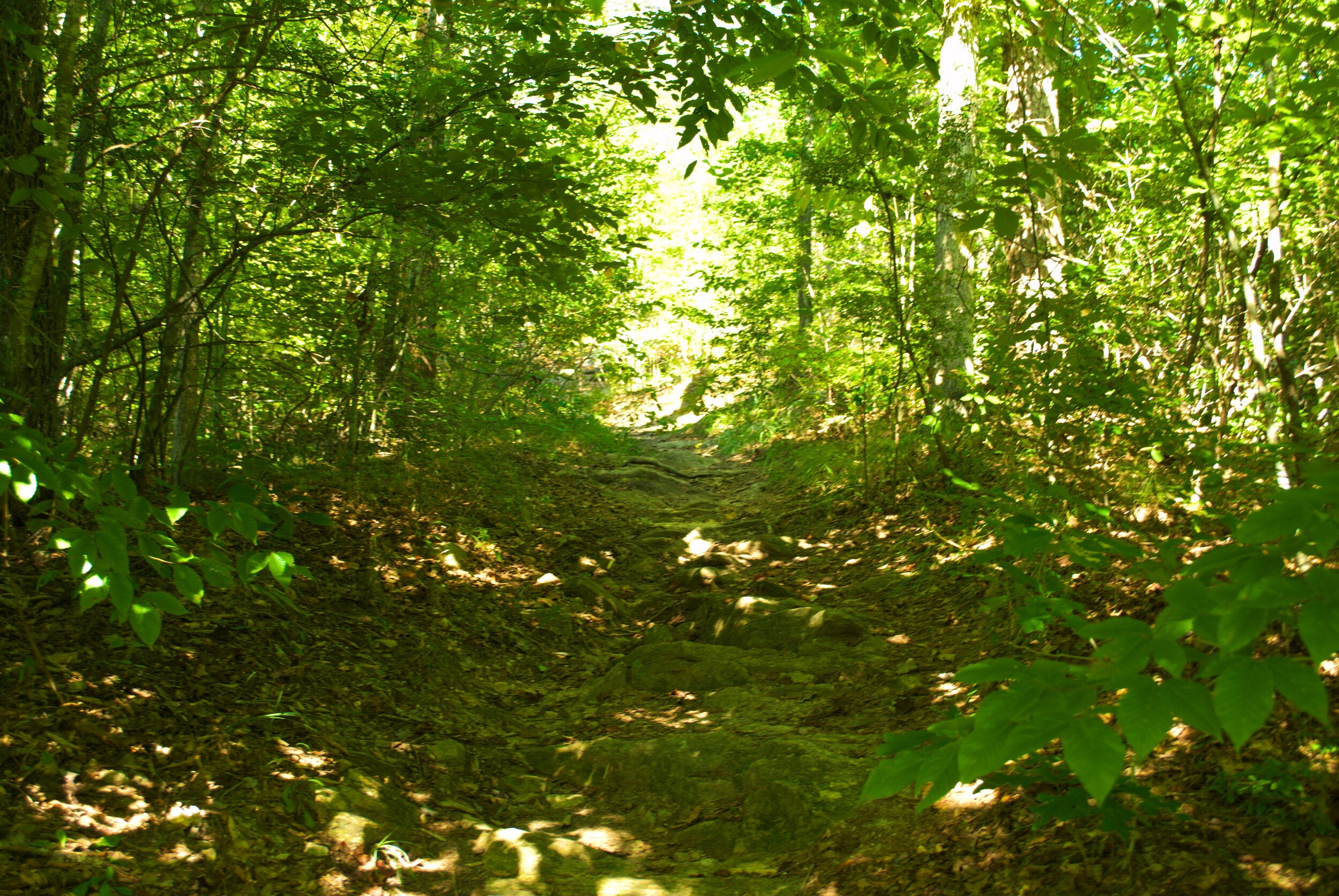
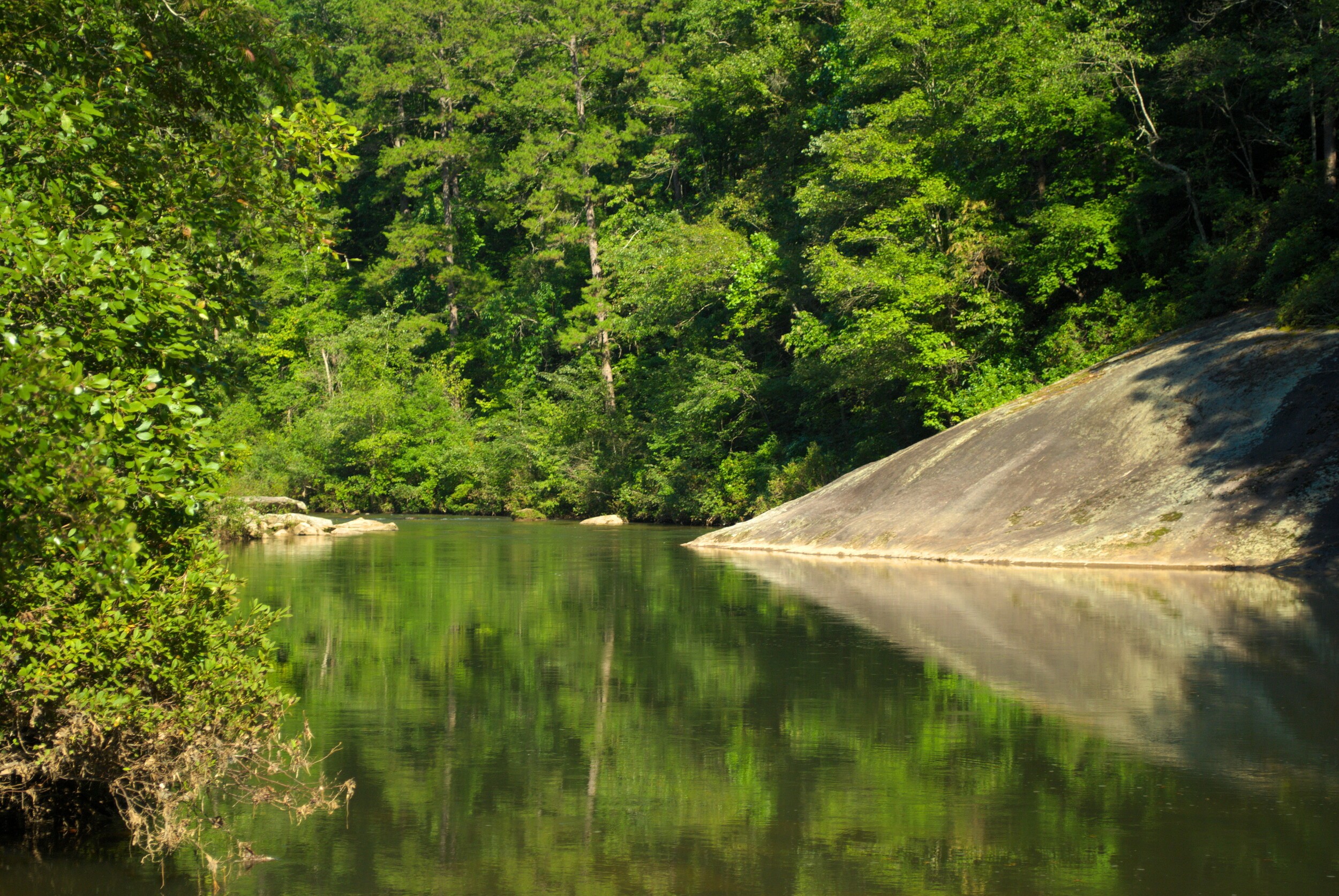
The trail goes back into the woods for a short piece, and then returns to the riverside, where the river is much calmer, slower moving. The river, and the trail, which have been curving north, start to bend back westward. Eventually, one gets right up to a tall bridge, which is highway 76, and then there is a wooden staircase that takes one up to the crest of a hill closer to the level of the highway. At that point, the trail heads down and east, back towards the suspension bridge.
I could have followed the trail down to the end, but I came to another intersection, and since I was still hoping for more walking, and my guide told me to keep bearing right, I did so, and continued on the Lower Loop trail, which looped back west and south to pick up the river again on the lower part of the bend.
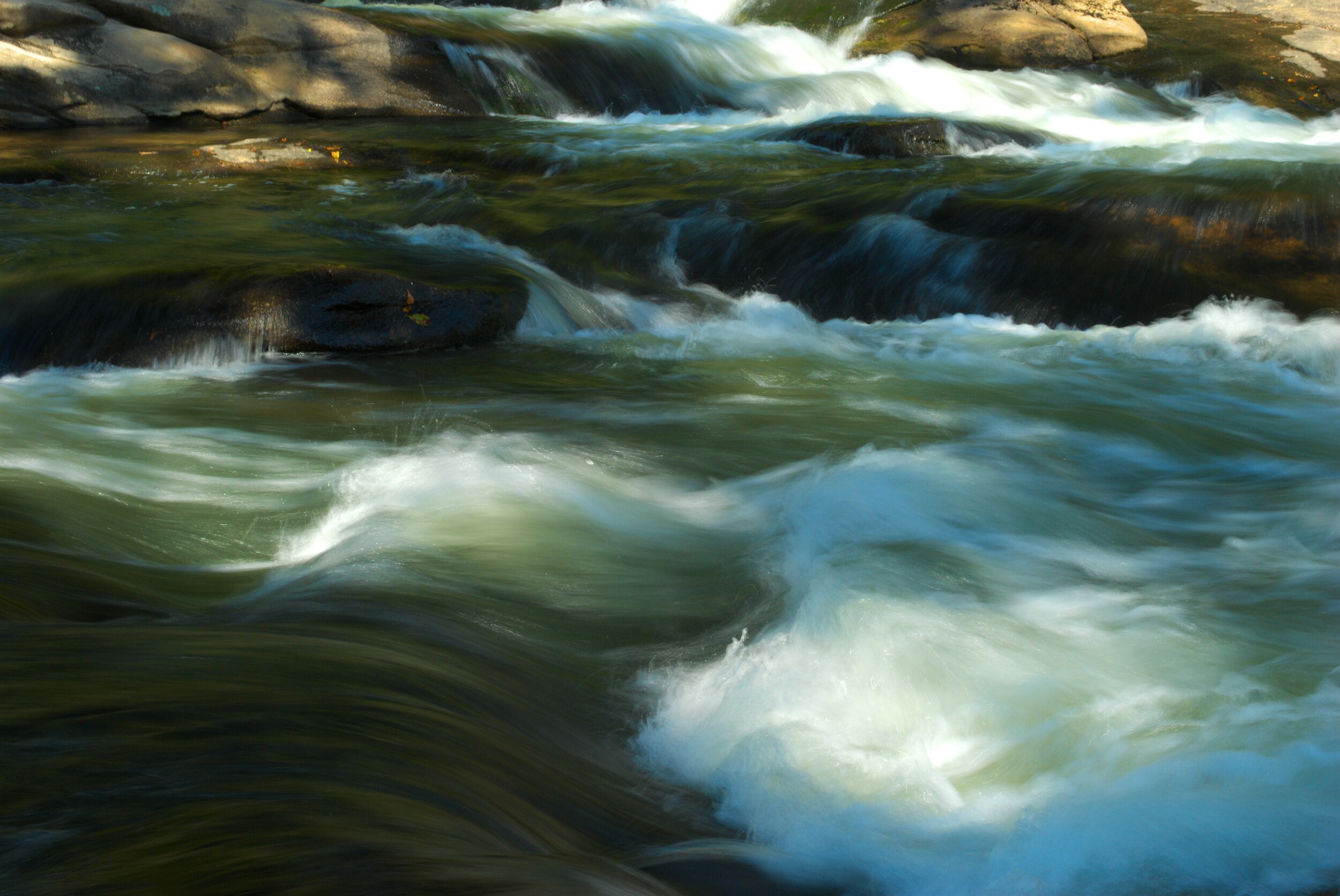
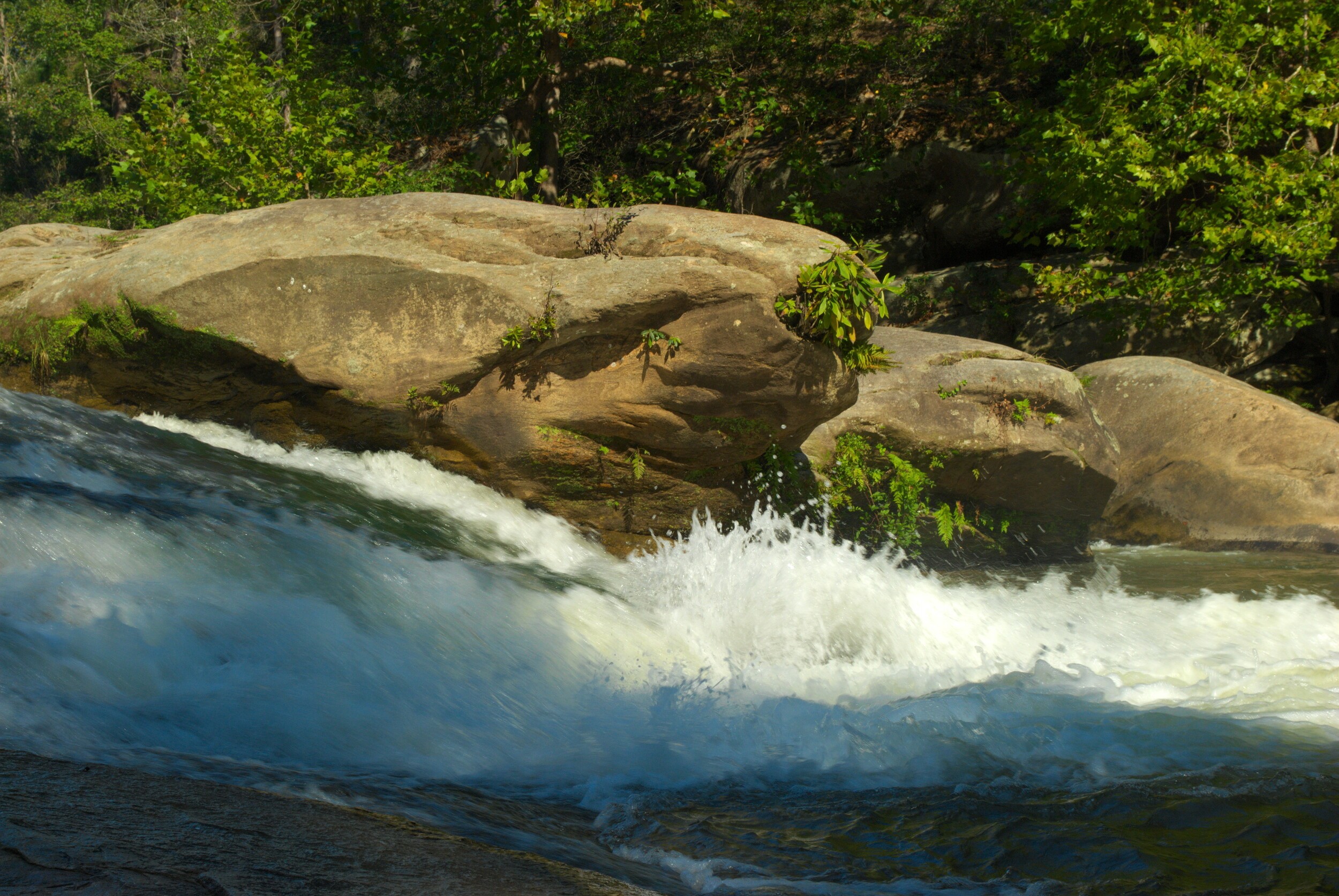
This part of the river was mostly calm, but there was a short spate of rapids as it flowed between some large boulders. I sat near them for a few more pictures, and to enjoy the roar of the water. When I continued on, the river became slower and I saw a family wading out in the water, happy in the day. Just before the trail would follow the bend as the river went northeast, it went back into the woods again.
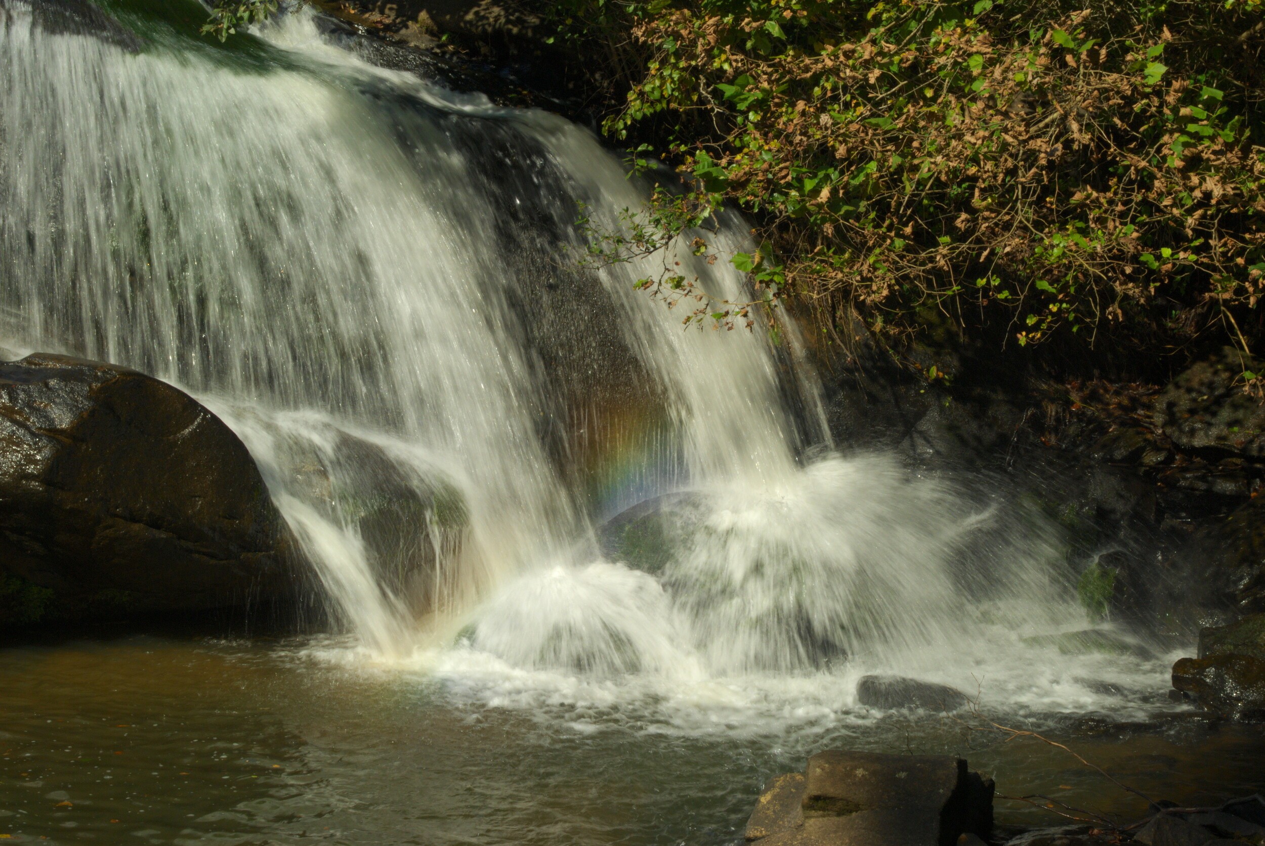
Finally, I reached the first intersection, and traversed the suspension bridge once more. Before leaving the park, I stopped to get pictures of the lower part of Ramsey Creek Falls, now that the crowd was thinning out. I was glad I did, as I was treated to a rainbow appearing in the spray at the base of the falls.
Overall, the trail wasn’t very long, probably just over 2 miles or so, and it wasn’t the most challenging hike I’d ever been on, but the river was gorgeous and the day was fantastic, so it was worth the time. If one is looking for an easy hike with great scenery, giving Chau-Ram park might just be the ticket.