Lake Russell’s Sourwood Trail
The Sourwood Trail, part of the Lake Russell Recreation Area, is near my hometown in Georgia and it includes a small waterfall near the midpoint.
The Sourwood Trail is part of the Lake Russell Recreation Area in Habersham County, Georgia, near Mt. Airy. This trail is in my old stomping grounds, as I spent my teenage years in Habersham County. It’s a lovely trail, with a nice little waterfall around the midway point.
One of the unfortunate parts of this trail is that it is not very well marked, so it is somewhat difficult to figure out how to get there. I had read about the trail in one of my favorite sources, The Hiking Trails of North Georgia, by Tim Homan. His description was pretty good, but it was still not easy to figure out where to park, how to get a day pass, or even where the trail began. As a result, I apparently ended up going on the trail almost by accident, and in the wrong direction on this 2.7-mile loop. Better signage, and maybe a trail blaze or two would probably help this trail.
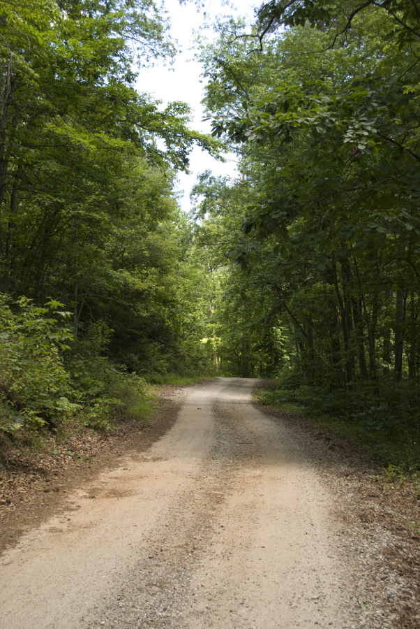
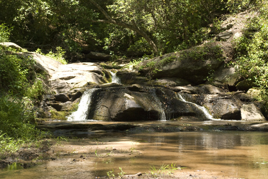
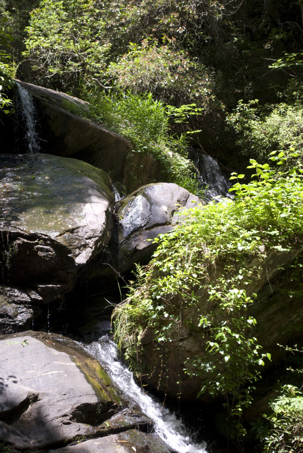
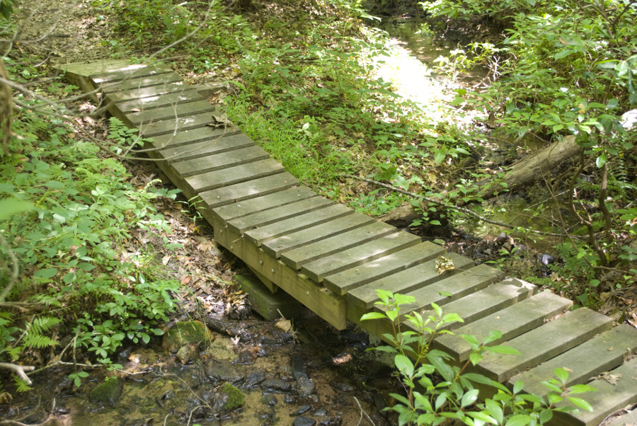
The trail begins on a service road, just up from a popular fishing spot, near a number of group recreation areas. There is at least one sign that says “Sourwood Trail” that distinguishes it from the “Ladyslipper Trail”. I took the “Sourwood Trail” road, and continued on. Not far from that sign, the road curves to the right. This is where, if you know to look for it, the trail as a footpath begins, just to the left at this curve. I missed it, and ended up continuing on the service road until I came to a small lower waterfall. I stopped to take a few photos of the lower falls, and then crossed a bridge over the stream fed by the falls.
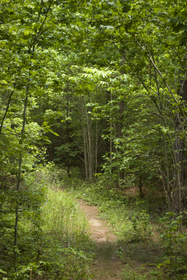
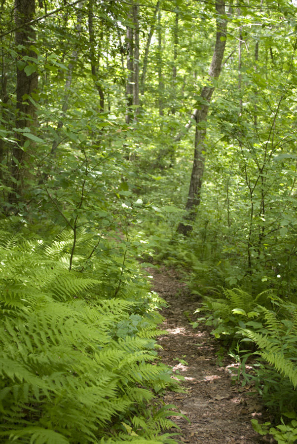
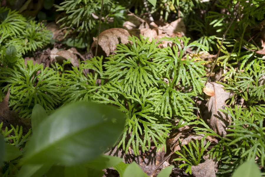
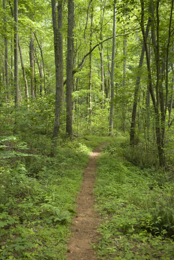
By chance, I happened to glance to my left, and saw a metal post that had a hiking symbol on it, and a narrow footpath leading back along the stream. I figured I’d just give this trail a shot, as I had been looking for something more than just a walk along a gravel road. It turned out to be a neat trail, rather narrow, but leading through a lot of greenery, including many ferns and some interesting ground cover that I couldn’t identify. While it was not a unique trail, it was still very beautiful, and I was enjoying it, except I kept wondering where I would end up, as I still had no idea if I was on the trail, or not.
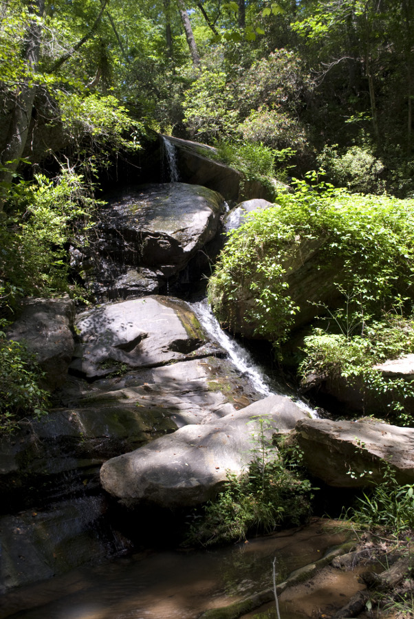
Eventually, I reached a point where there was a low wooden sign that said “Trail” and “Nancytown Falls”. Having read the Homan description of the trail, I knew that there was a spur trail from the Sourwood trail that led to Nancytown Falls. Thus, I finally had an inkling that I was on the right trail, as it were.
I took the trail up to the falls, which ended up being a pretty little waterfall, although the low water levels this year didn’t provide for much impressive water flow. For those who may not know, this region is in some serious drought conditions, and we hadn’t had any rainfall in a while. I could imagine that this waterfall would be much more beautiful after a rain, or when the general water levels weren’t down so much.
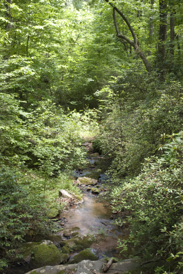
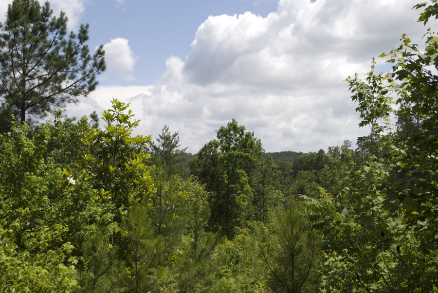
I returned via the spur, and the trail wound its way back down, crossing another stretch of the service road. Luckily, there was another metal sign on the other side of the road, or I might have been tempted to think that I was to take the service road back to finish the loop. I’m glad I didn’t, however, because the trail led along a rise that provided some wonderful views of the North Georgia mountains, before exiting at that point I mentioned before.
Overall, a pleasant hike, not particularly strenuous, although there are some nice elevation changes on the approach to the Nancytown Falls spur trail.