A Leap of Faith and a Beautiful Waterfall
Finding Long Creek Falls required me to take a chance on what I thought might be the road to the trailhead, but wasn’t obvious. Luckily, I found the way and had the opportunity to experience this outstanding waterfall.
I had tried to find the Long Creek Falls trail some weeks before, and failed. I ended up on the Oconee Trail, instead. But, I decided to try again to locate this trail. The directions say to take Hwy. 76 up towards Clayton from Westminster, SC. You turn left at Damascus Church Road and then turn right on Battle Creek Road. So far so good. This is where it gets difficult. According to the directions I’d found on the web and in my waterfall hikes manual, the next step is to turn right on Turkey Ridge Road, also known as FS755. This wouldn’t be hard, except that there is no marking on this road to let you know which was Turkey Ridge Road.
So, I went back and forth along Battle Creek Road, and then used the directions, which said to travel about 1.9 miles on Battle Creek Road and then turn on Turkey Ridge Road. Watching my odometer, I looked for a road that went right off of Battle Creek, traveling from the turn from Damascus Church. And there was this gravel road, and it had a stop sign at the end of it. No signs that I could see, but I figured I’d just take a chance and hope that this was the correct road. I drove on this gravel road for quite some time, still hopeful, and my faith was rewarded, as I ended up at the “parking area” that was described in the directions.
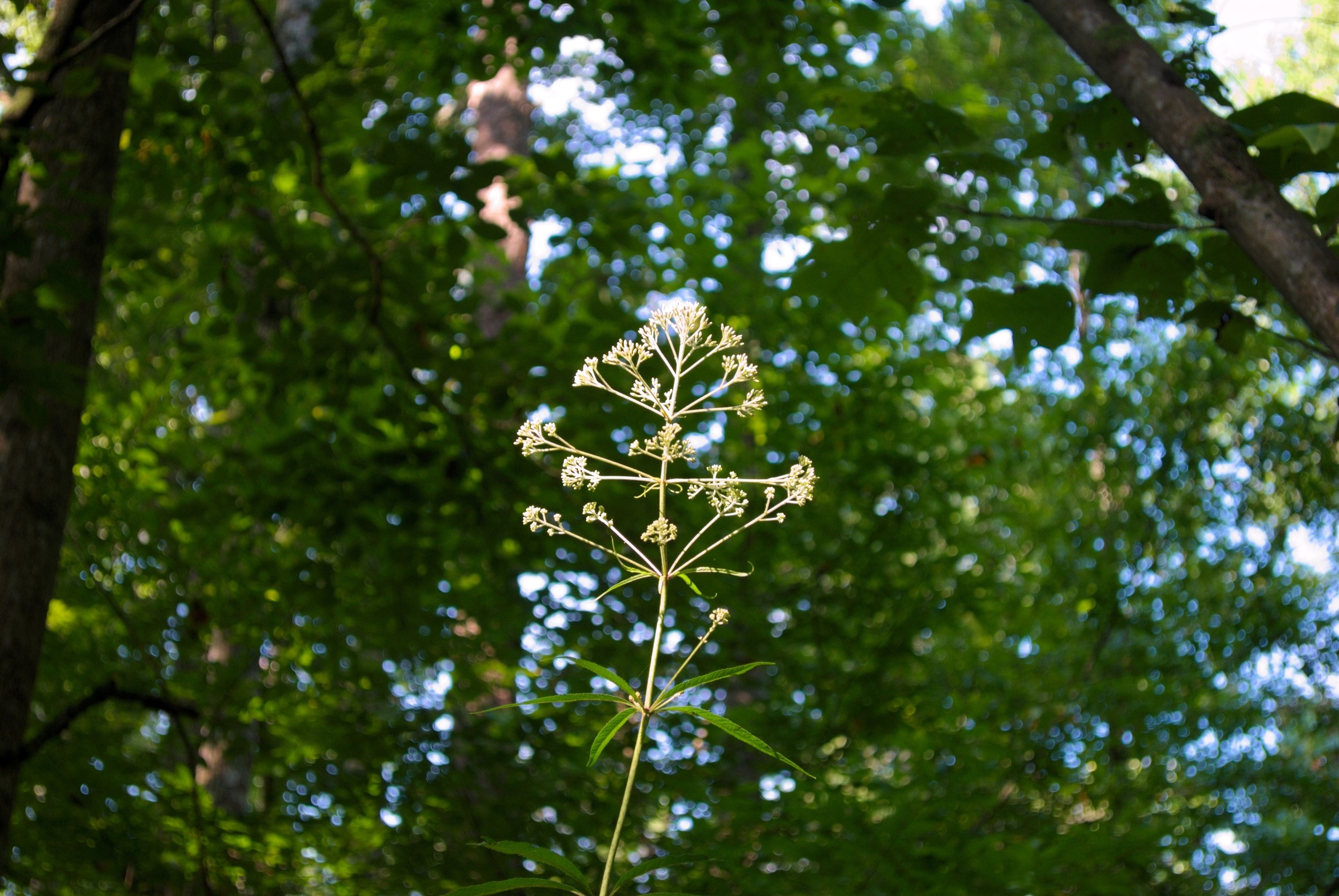
After leaving the car, I headed off along the trail/road that forked off to the right from this area. This road went for perhaps .5 miles and then stops trying to impersonate a road and becomes a real trail. The trail over all is only about 1.6 miles, and is a fairly easy hike, until you get to the end, where the last 100 yards or so are very steep, indeed. The trail goes down to the falls, right to where the creek flows into the Chattooga.
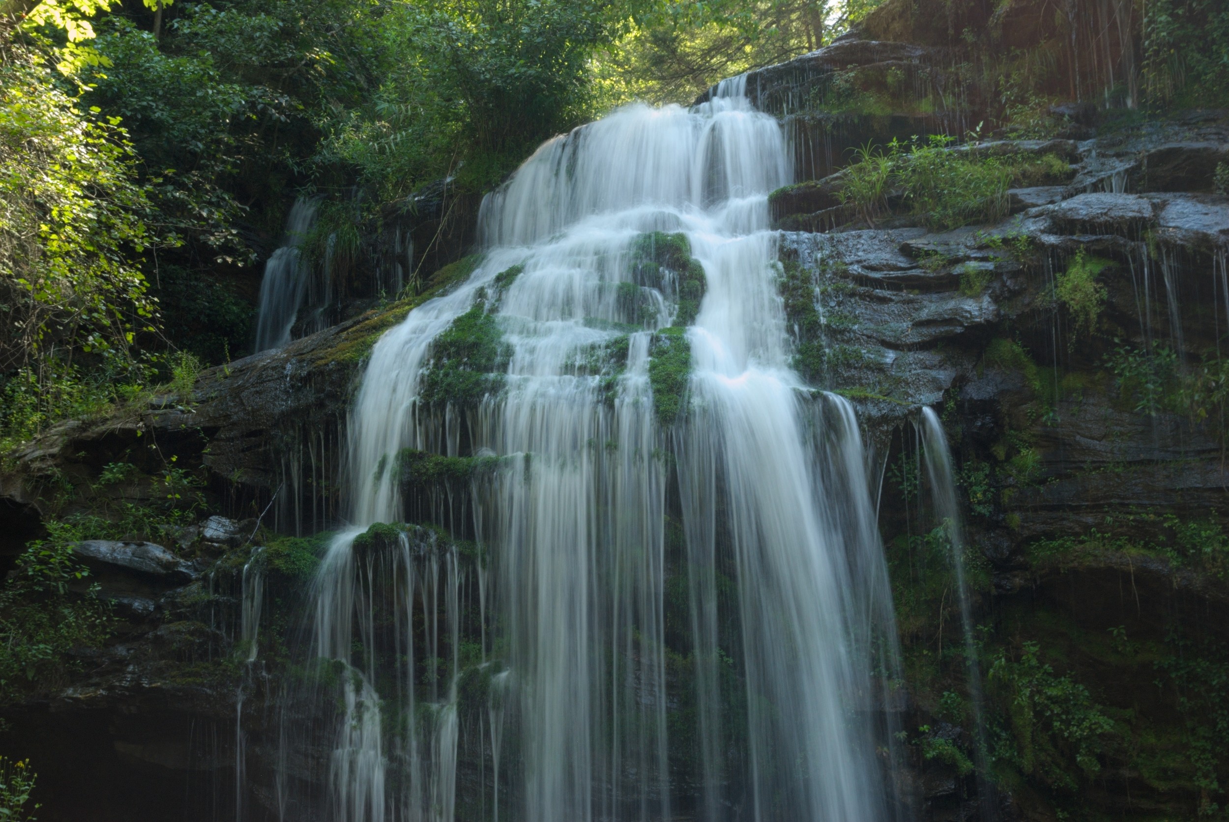
The trail ends right at the confluence of Long Creek and the Chattooga, affording fantastic views of the river on one side, and on the other, you see the falls, just a few feet away. When I got there, a bunch of rafters and kayakers were heading downriver after a stop at the falls. The water levels in our area of South Carolina are still a bit low, but apparently, there was enough for a good trip down the river.
The time of day wasn’t the best for pictures of the falls, as the sun was going down behind the falls, and there was quite the glare, but temperature-wise, I couldn’t complain. It was one of the coolest hikes I have taken this summer.
I hiked back out, after visiting briefly with another group of rafters who had come to enjoy the falls. The hike back out, as expected, was quite steep, and got my heart rate up by the time I was back up to the main trail. After I hiked back out, I noticed a small metal post with “FS755I” on it, letting me know, belatedly, that I had been on the right trail. It was mostly covered over with brush, so I hadn’t seen it the first time. And when I drove out, I looked for “FS755” or “Turkey Ridge” signs, anywhere, but never found one. So, if you look for this trail, just try to find the first dirt road off to your right with a stop sign, just about 1.9 miles from where Battle Creek leaves Damascus Church.