Getting to the Point
The Loyston Loop Trail, along the Clinch River in Tennessee, provided views of strange textures, spooky trees, and the occasional mountain biker.
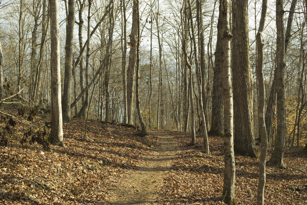
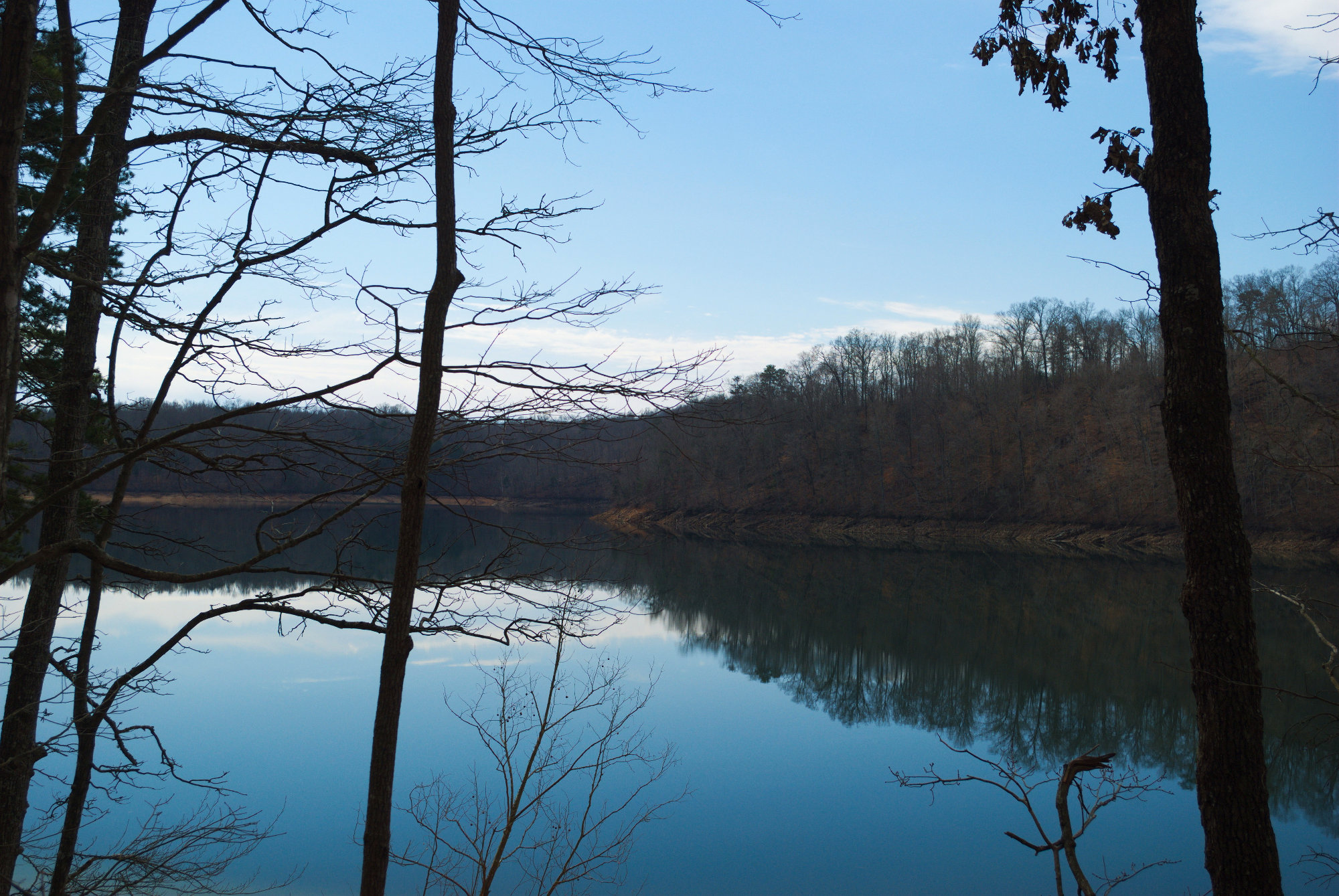
Back in early February, I decided to give the Loyston Point Recreation Area a try. There are a few trails on this peninsula that extends out into the Clinch River, most of which are multi-use (hiking and mountain biking). It was a chilly morning, but I headed off to hike the Loyston Loop Trail, a 5.4-mile trail that winds around a hill in the northwest part of the peninsula, passing by the river as it goes north, before looping back.
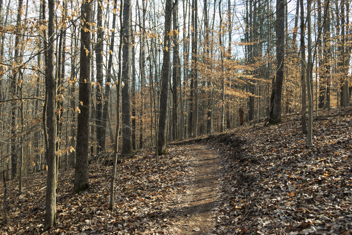
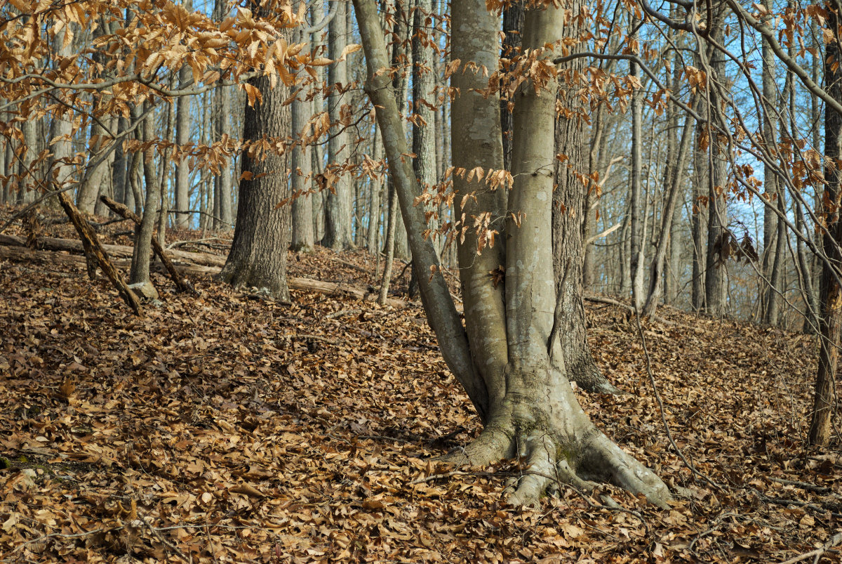
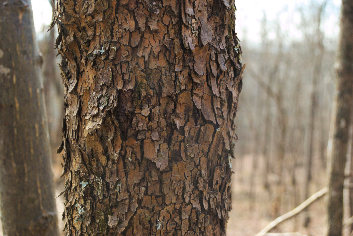
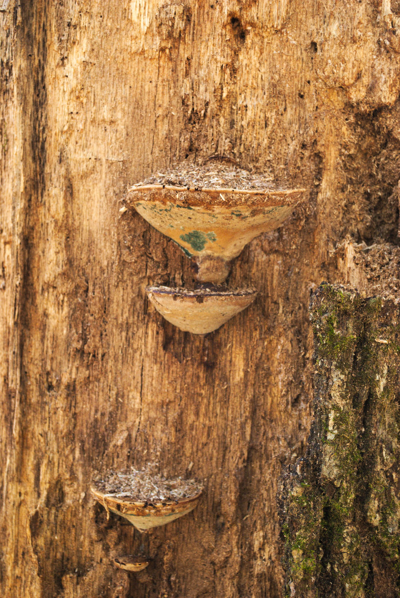
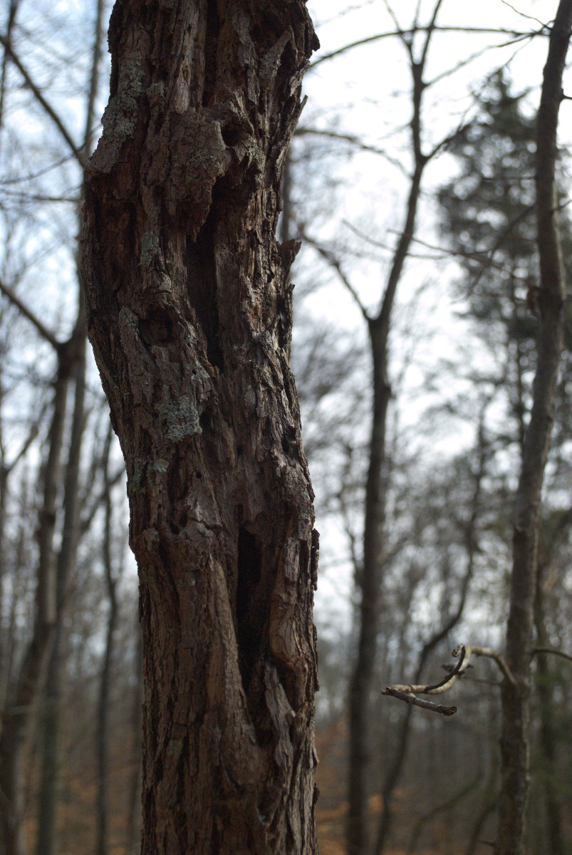
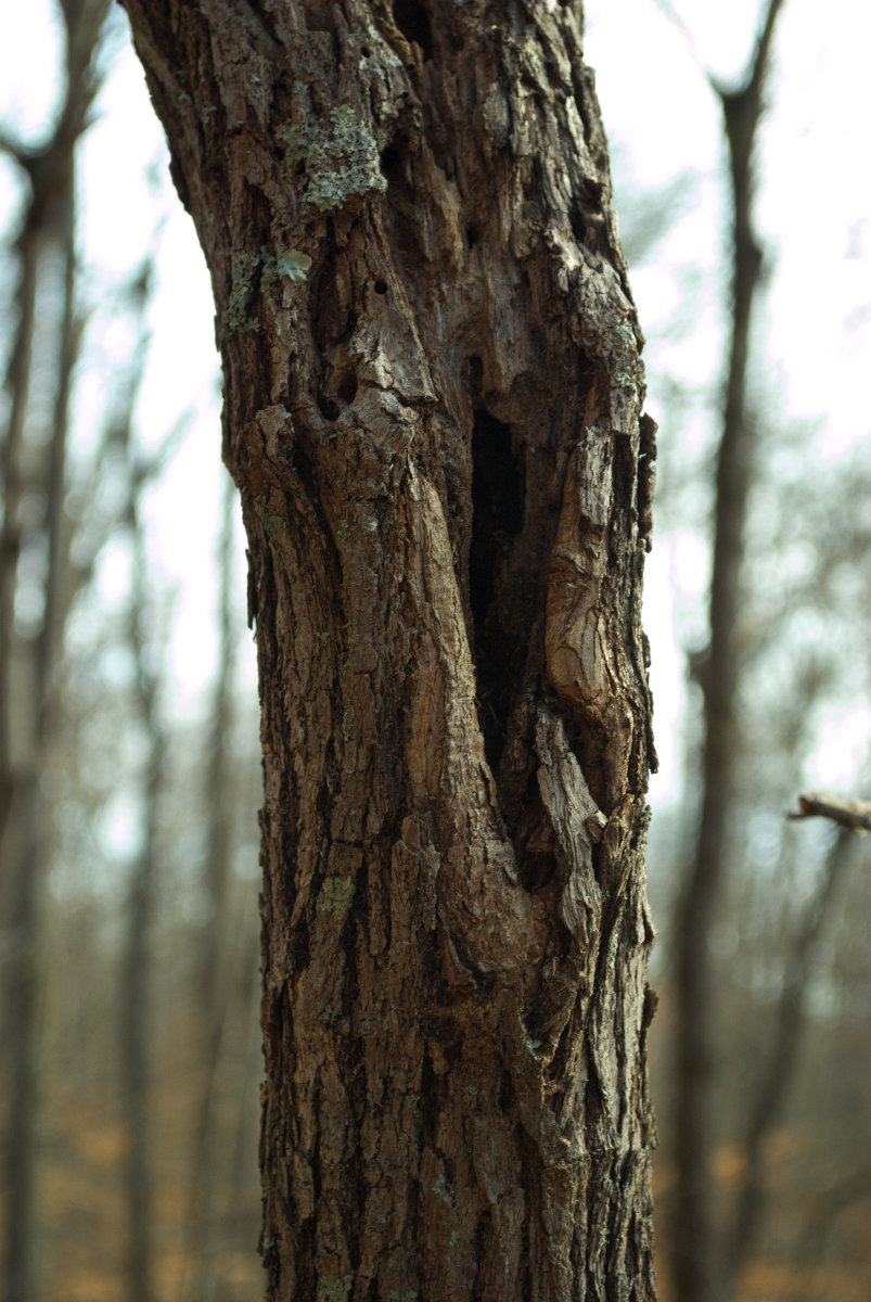
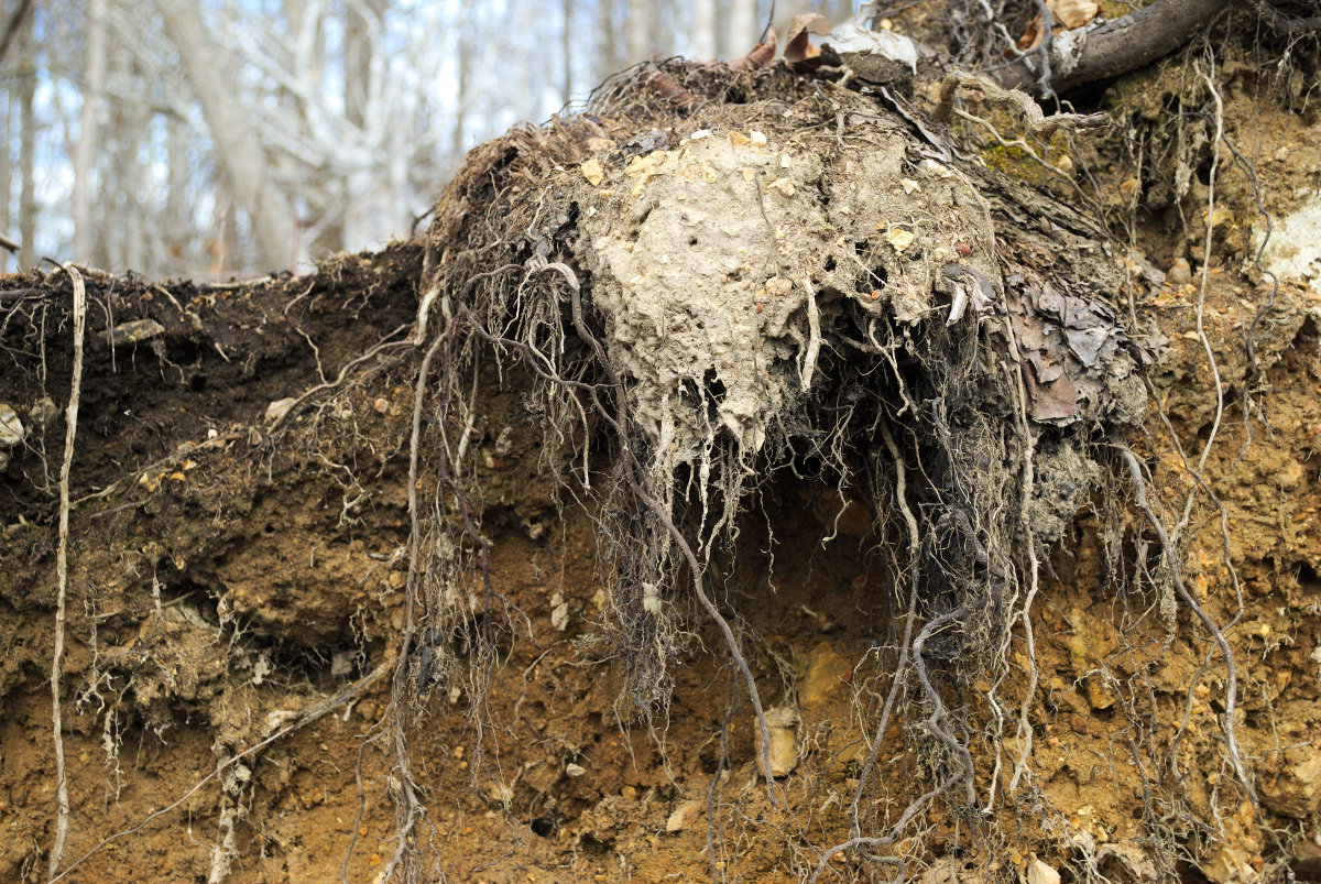
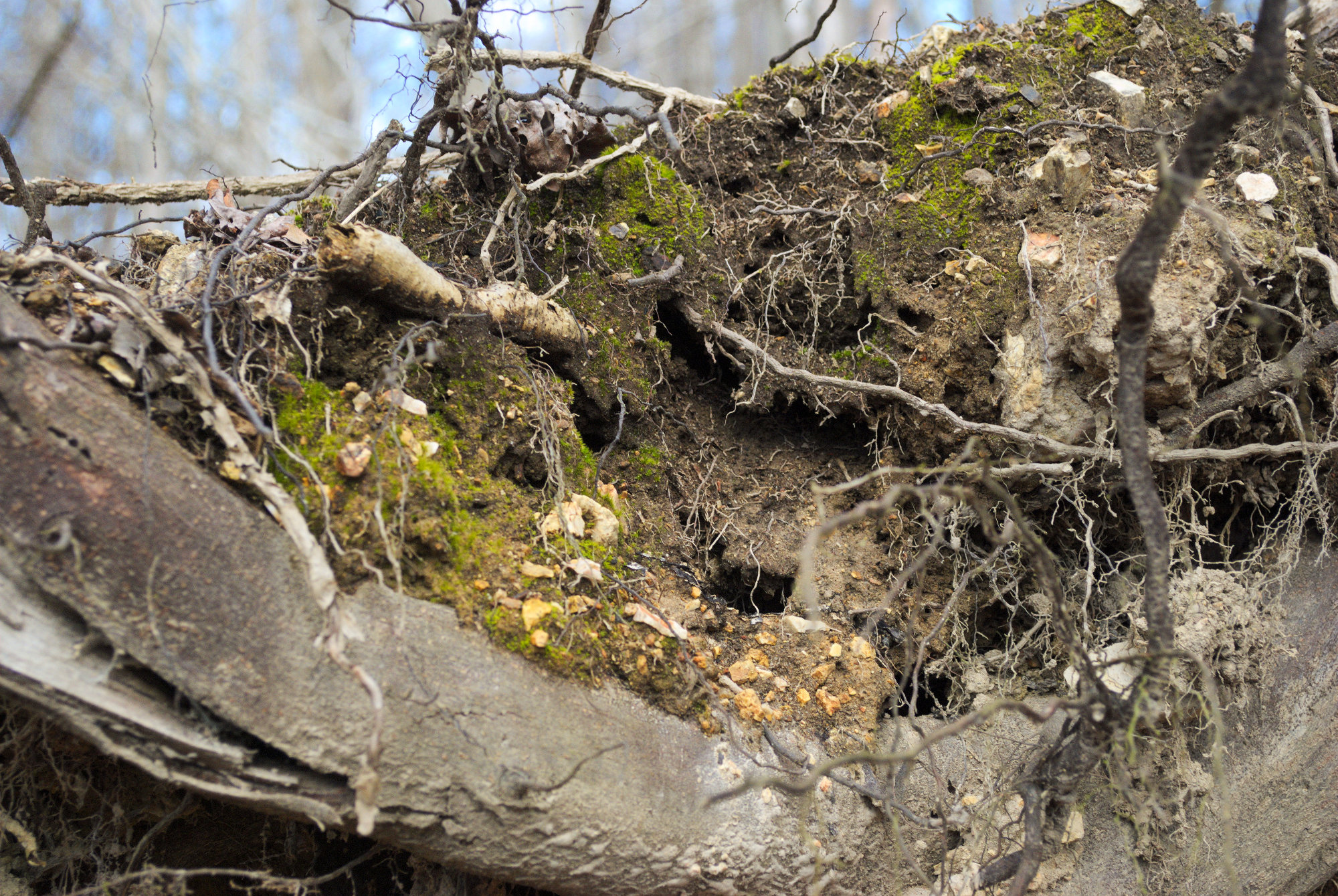
The hike varied a good bit between moderate and moderately strenuous. The first half (or just over that) of the trail winds along a ridgeline, rising in elevation as it passes through a post-autumnal landscape. There was a lot of leaf litter, most of which had faded to dull browns, and the trees stood in stark contrast to the blue sky. It was mostly deciduous, so there wasn’t even much evergreen in evidence. But, even so, it was a pretty hike, and mostly quiet. Except for the occasional mountain bikers, that is. On occasion, a group of bikers would pass through, but I think most of the mountain bikers were on the Mill Creek Loop, off to the west. I got a number of nice images of strange textures and spooky old trees.
Once the trail gets to its northernmost point, it reaches the Clinch River and then doubles back on itself just slightly, so that the return loop follows the shoreline for most of its length. As I neared where the Mill Creek Loop extends off of the Loyston Loop, the number of mountain bikers increased. But, everyone was conscientious and polite, so there were no incidents, other than a punctured tire. The couple with the tire issue were well prepared, though, and had it under control in no time.
Overall, a pleasant day, and a nice hike. Next time, I’ll probably try the Mill Creek Loop Trail. It’s a bit longer, probably more strenuous, and there’s the added challenge of dodging mountain bikers.